A sample of RECON projects from across the state:
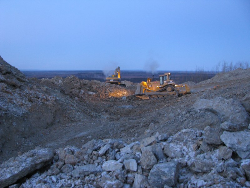
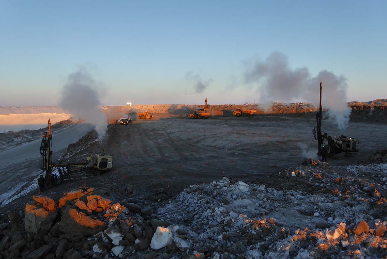
Donlin Gold Project
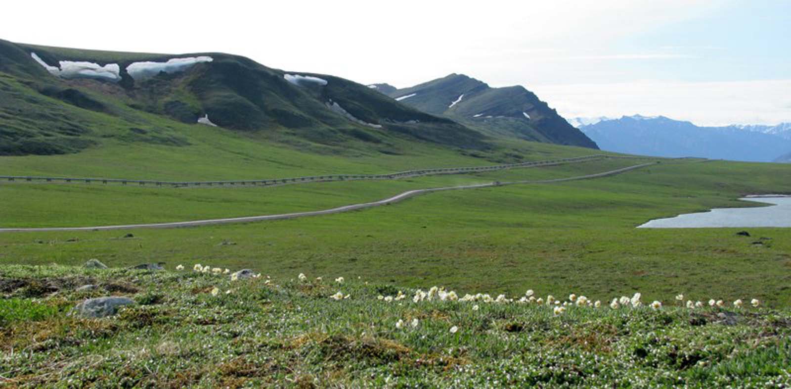
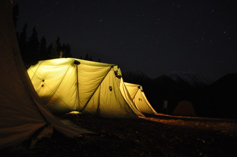
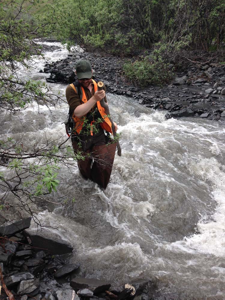
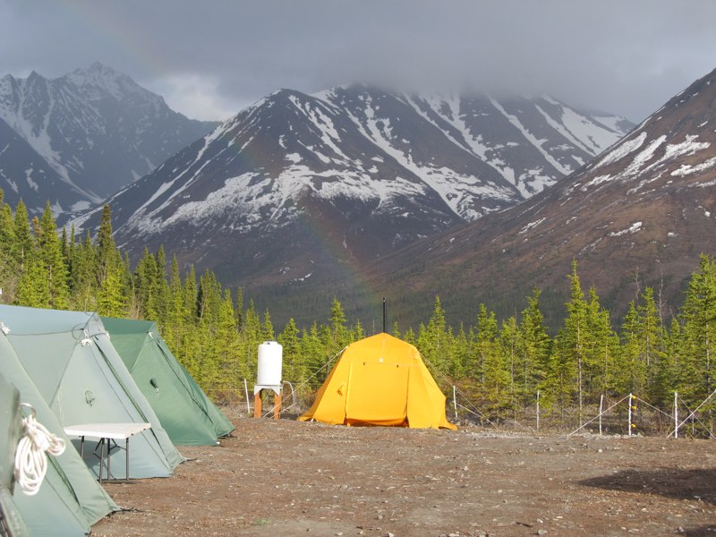
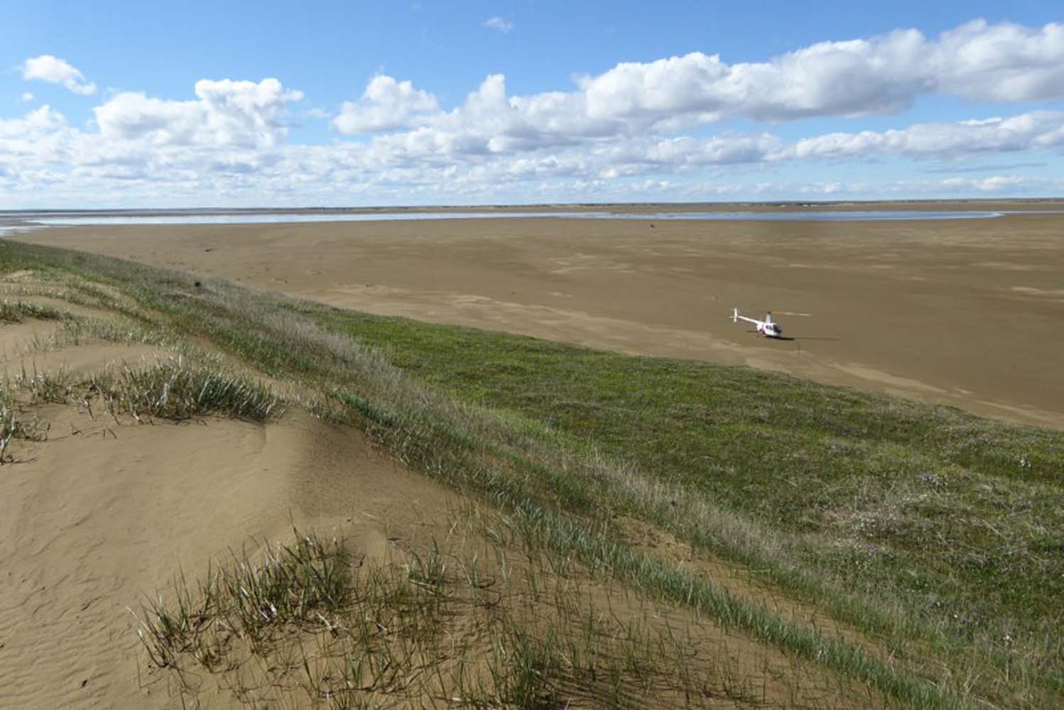
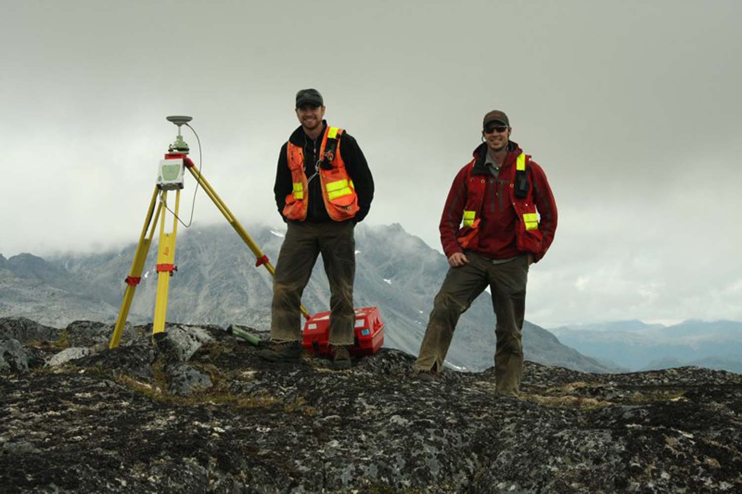
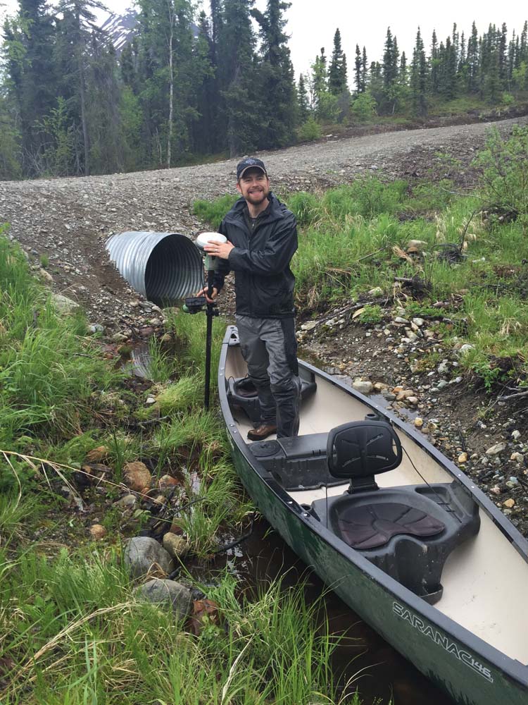
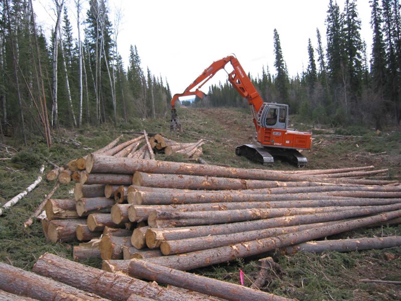
Since 1996, Steve Rowland and RECON have been instrumental in the investigation and design of project infrastructure for the Donlin Gold project in Southwest Alaska. Additionally, RECON spent the 2010-2015 summer field seasons developing engineering design and arranging logistics for Donlin Gold’s natural gas pipeline feasibility study.
SERVICES EMPLOYED:
Civil Engineering
Surveying
GeoHazard Assessment
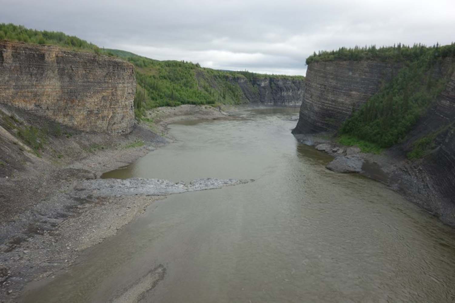
Port Site Selection
Pipeline Route Reconnaissance and Selection
| Civil Engineering | Surveying | GIS : Cartography, Data Management/ Analysis |
| Construction Management | Remote Access Reconnaissance | Remote Logistic Management |
| Project Feasibility Studies | Geotech Investigation | Project Feasibility Studies |
| GeoHazard Assessment | Port Site Selection | Pipeline Route Reconnaissance and Selection |
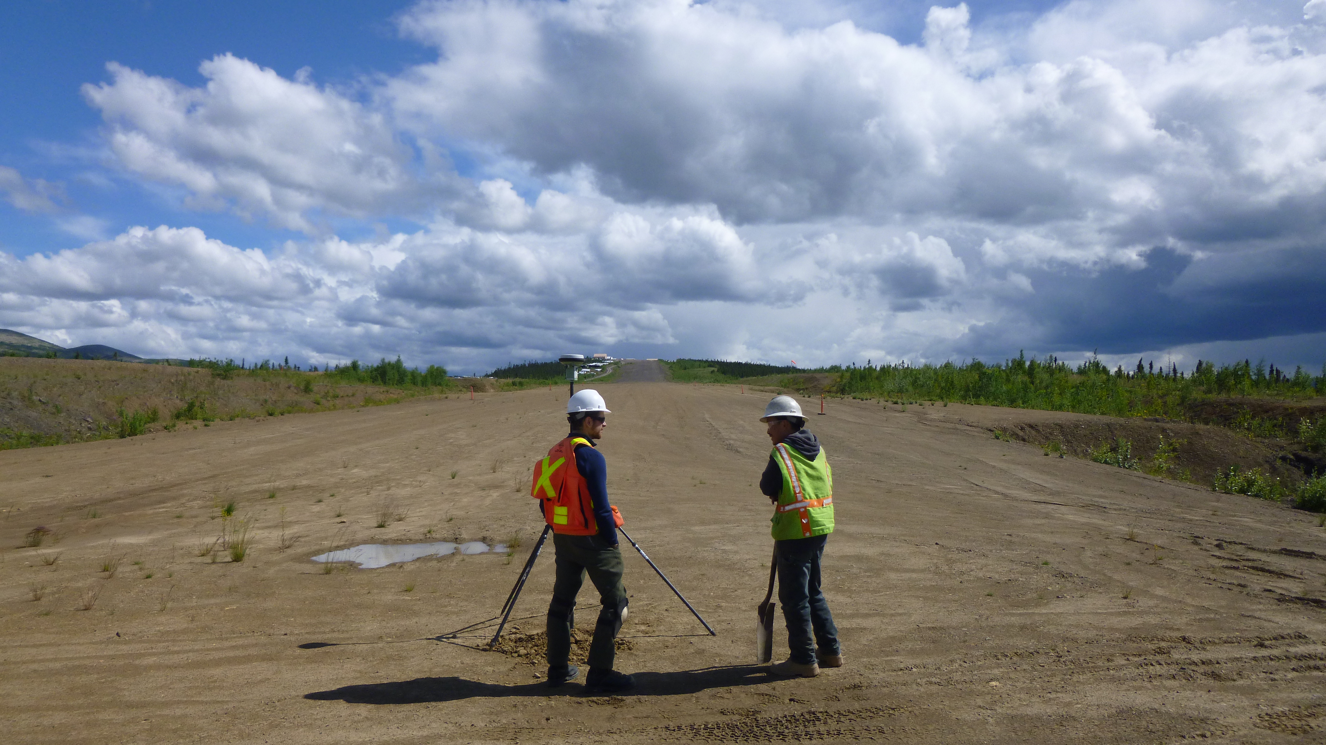


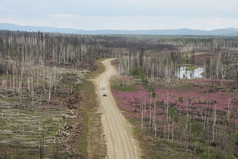
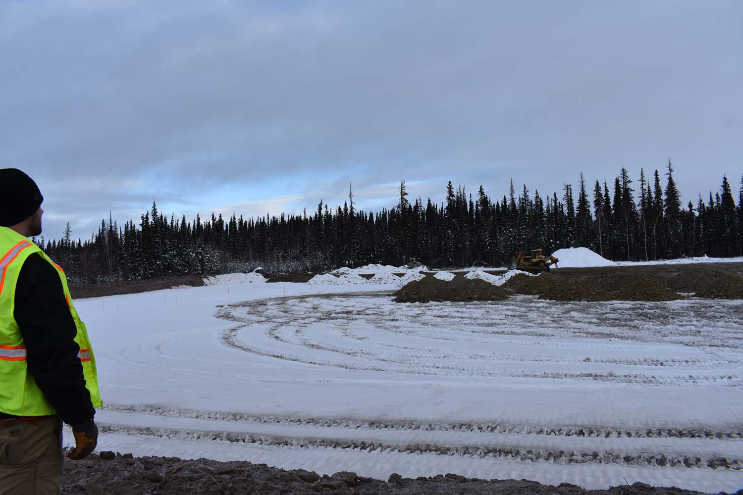
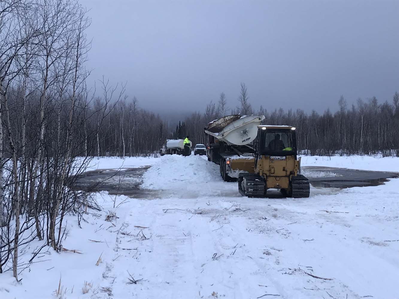
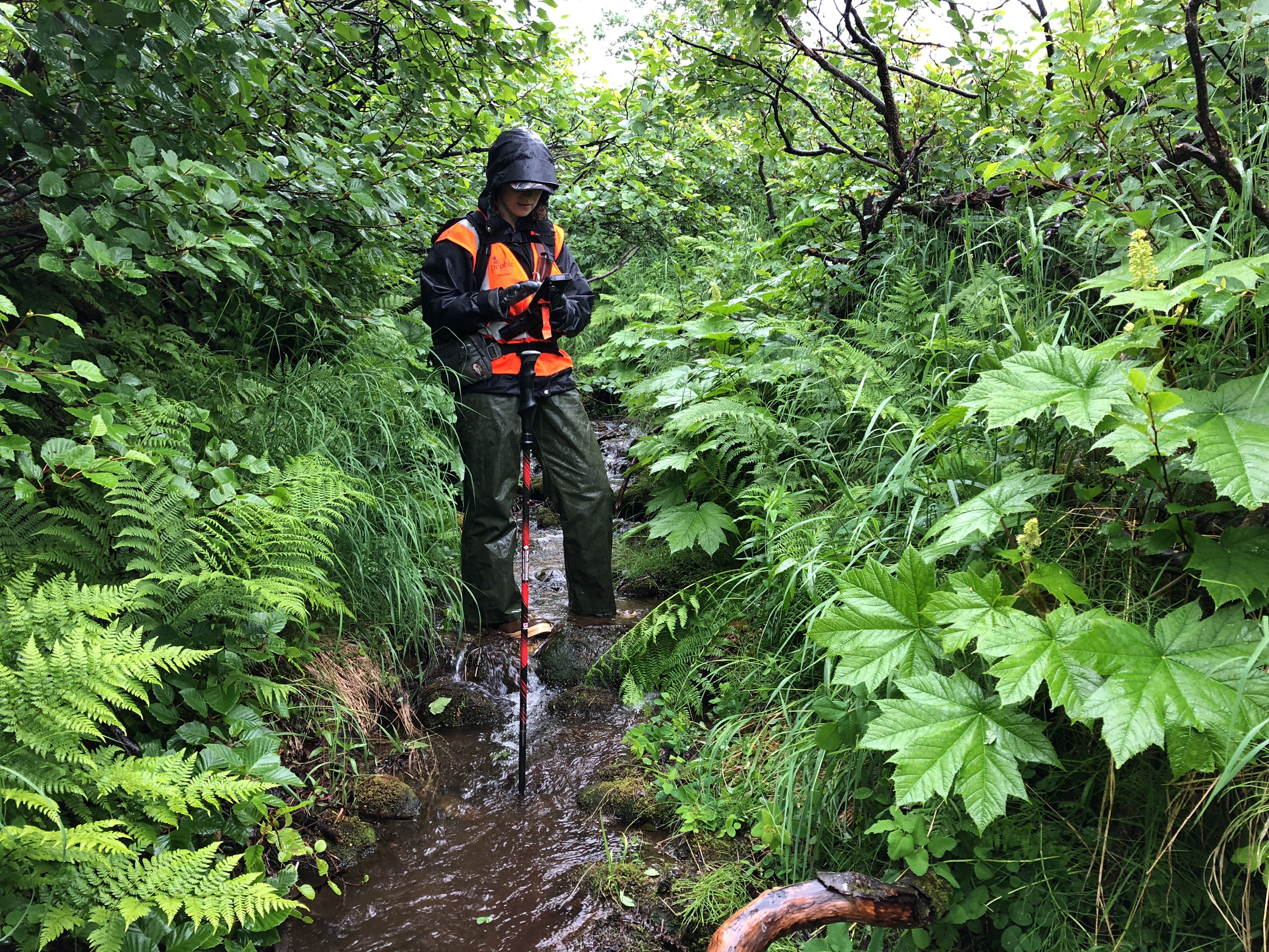
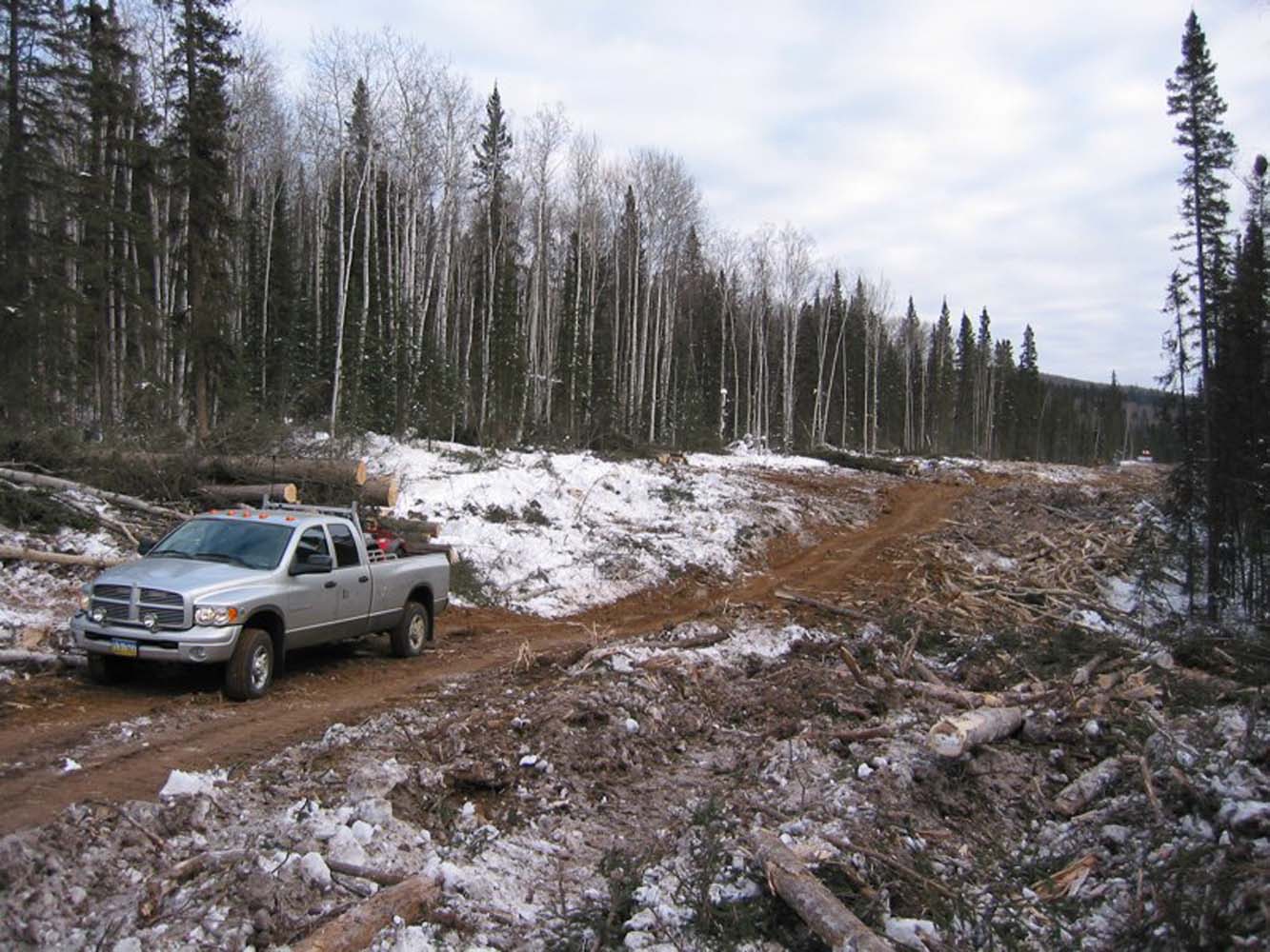
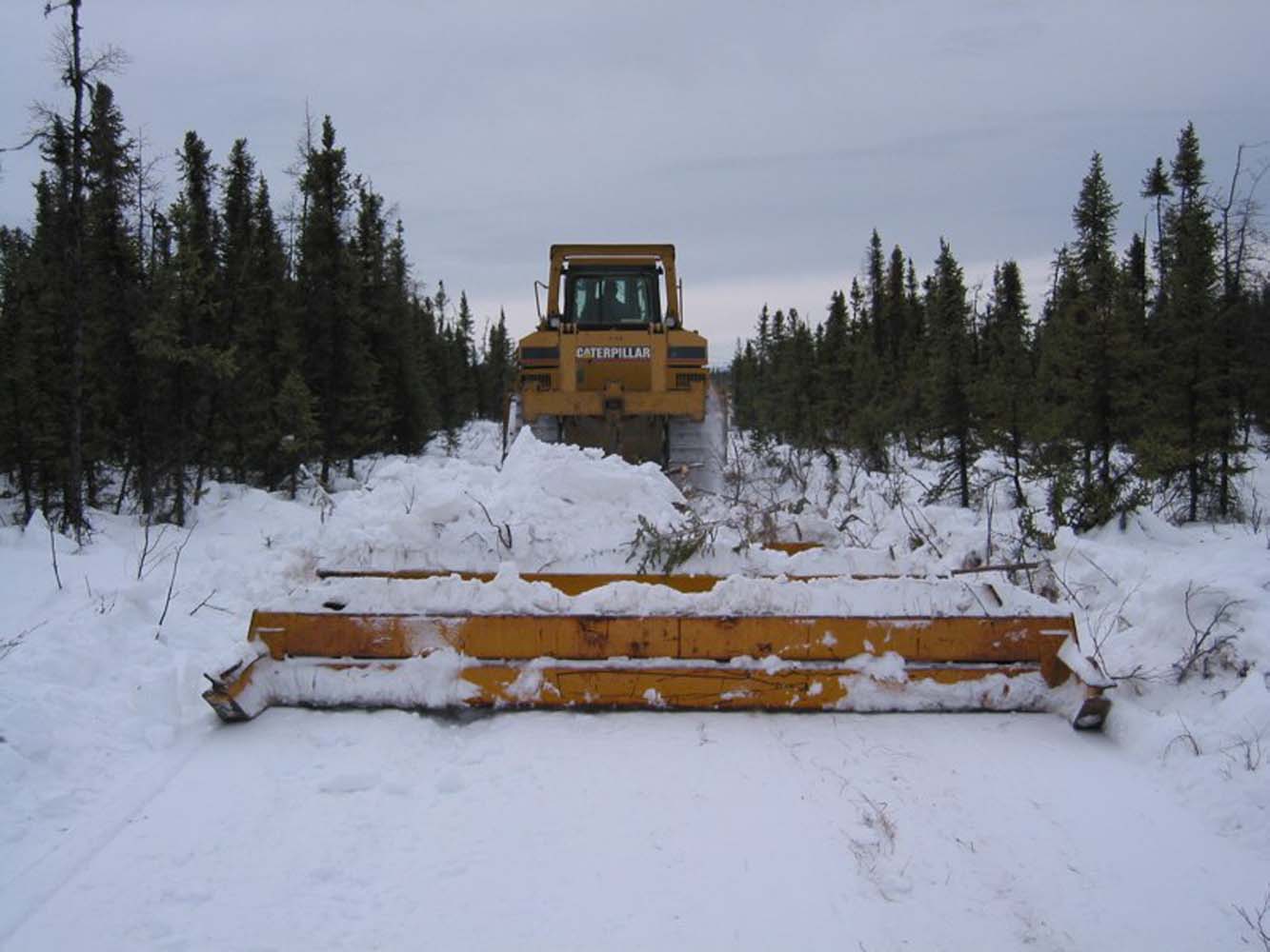
Nenana-Totchaket Access Roads for Oil & Gas Exploration
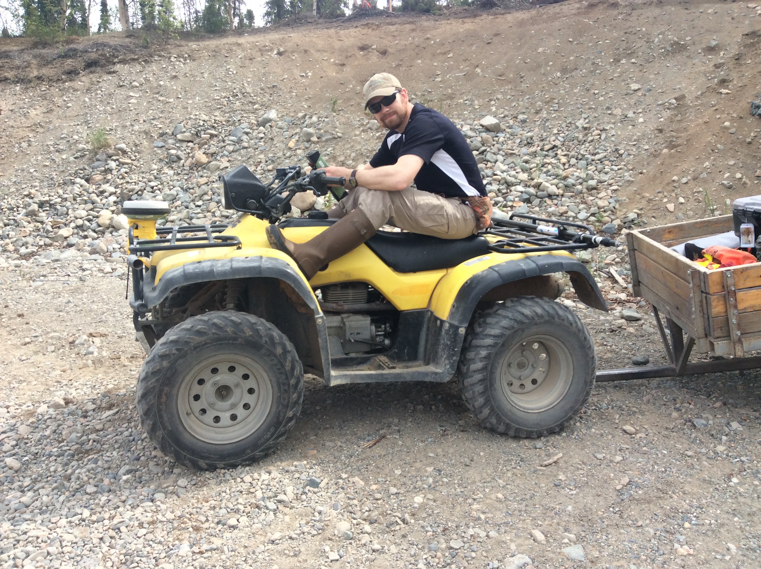
Since 2006, RECON has been involved in the location, design, engineering, surveying, and construction management of multiple access roads from a river barge port site to locations west and north of Nenana, including several gas and oil exploration well drill pads.
SERVICES EMPLOYED:
| Civil Engineering | Winter/Ice Road Management | GIS : Cartography, Data Management |
| Construction Management | Remote Access Recon | Project Feasibility Studies |
| Geotech Investigation | Site Development/Design | GeoHazard Assessment |
| Surveying : Boundary, Topography, Construction, Platting |

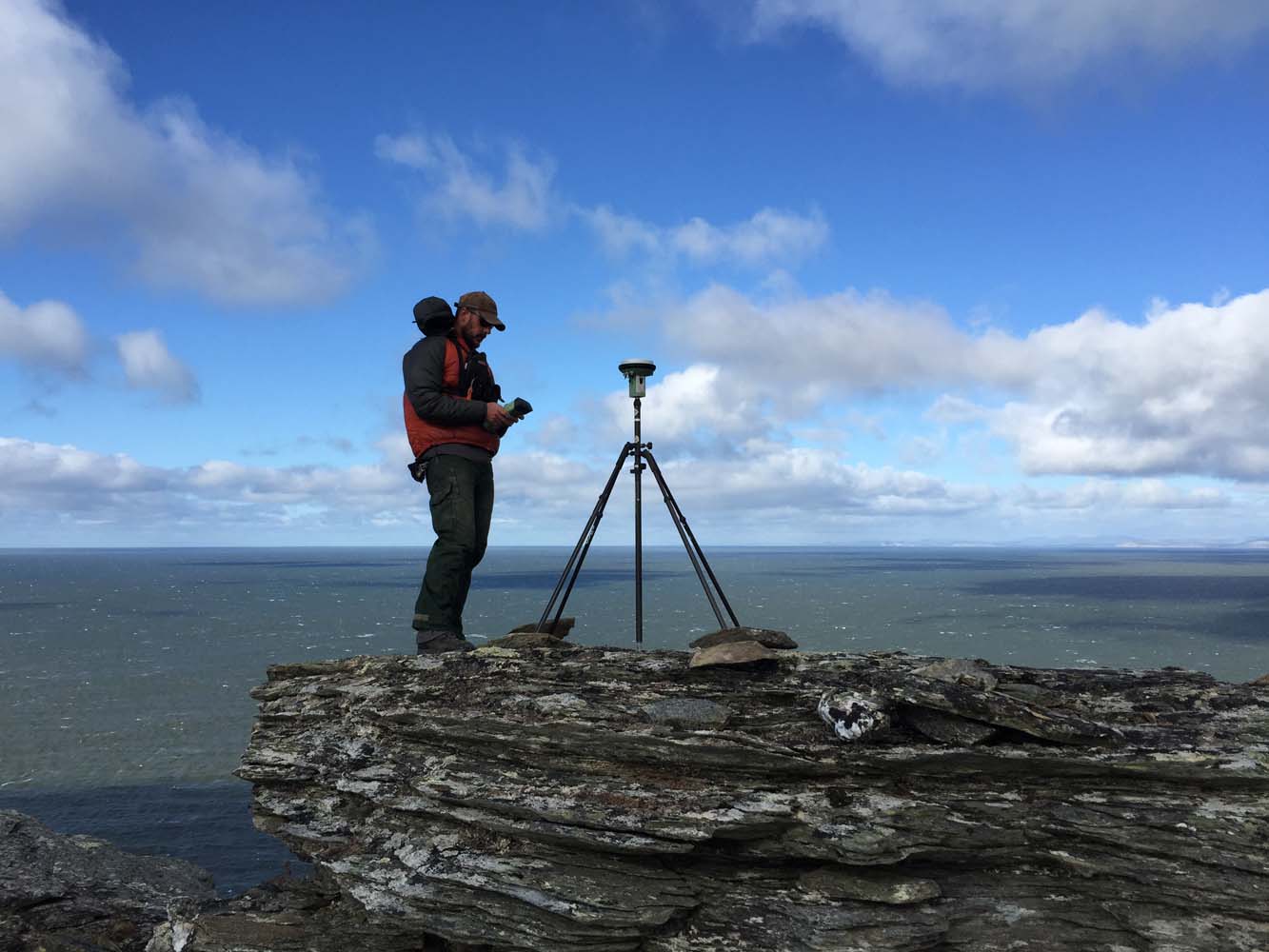
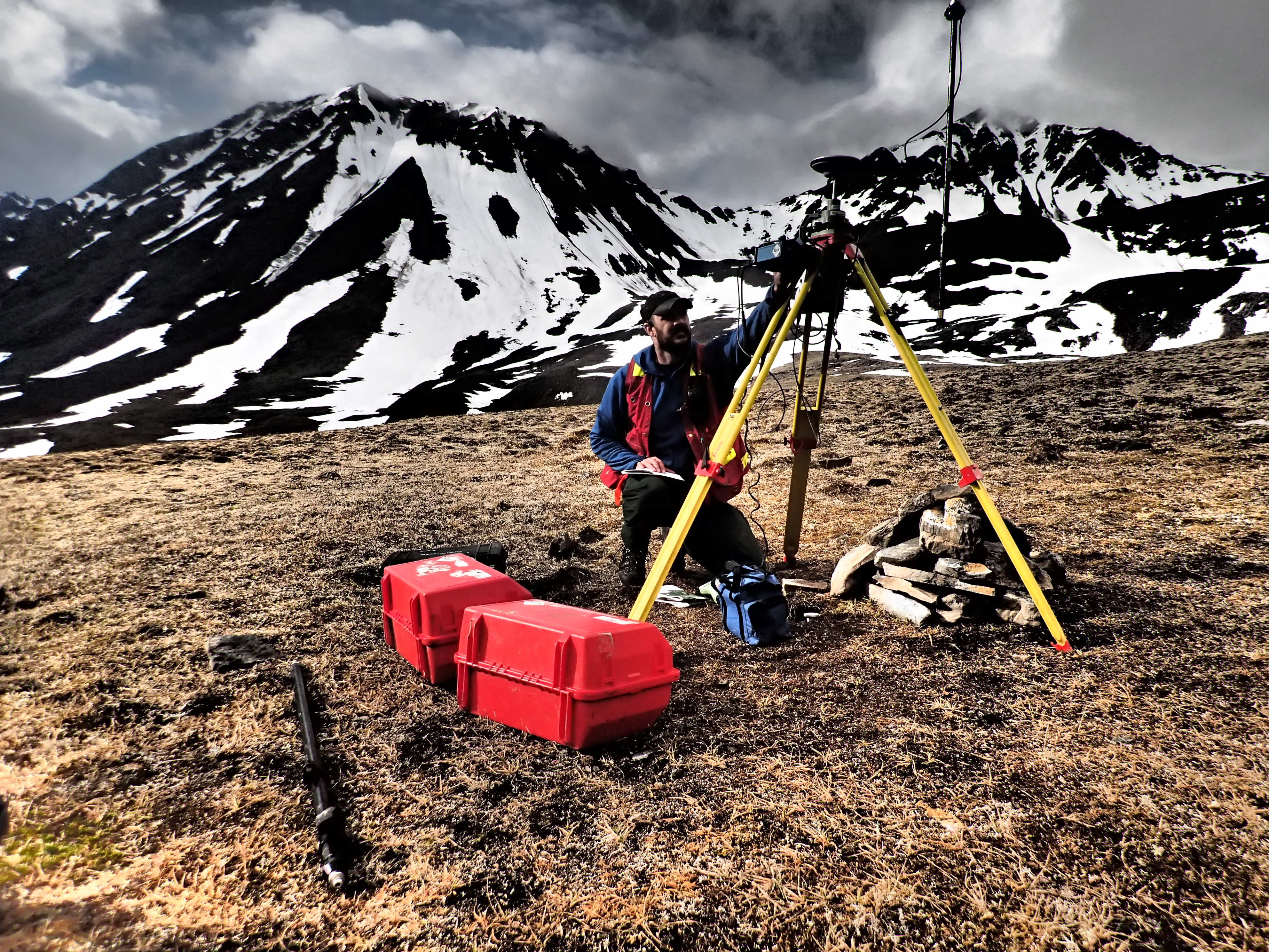
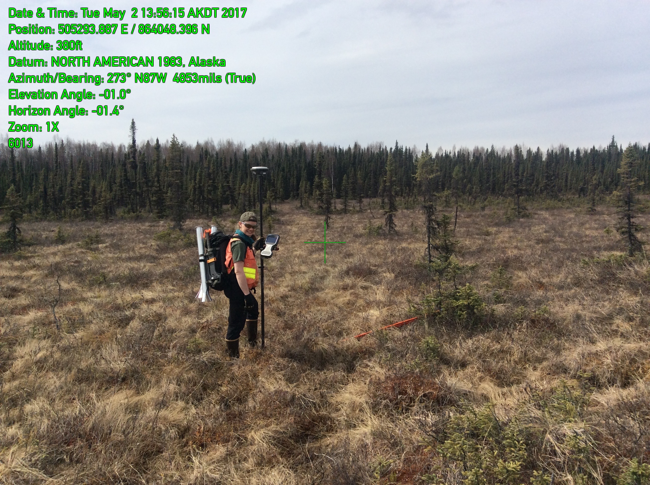
Western Alaska GPS Network for ADNR
RECON, acting as prime, teamed with two other companies and contracted with the Department of Natural Resources Division of Geological & Geophysical Surveys. RECON worked with the team to plan and implement a GPS control network spanning 3,500 kilometers along the western coast. Approximately 130 ground control and checkpoints were set and surveyed in 23 days. All deliverables were submitted on time and within budget
SERVICES EMPLOYED:
| Surveying: GPS control network | GIS: Cartography | Remote Logistics Management |
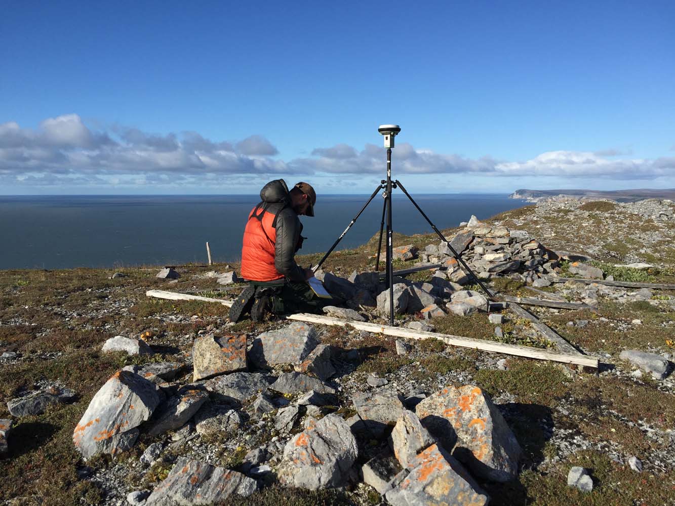


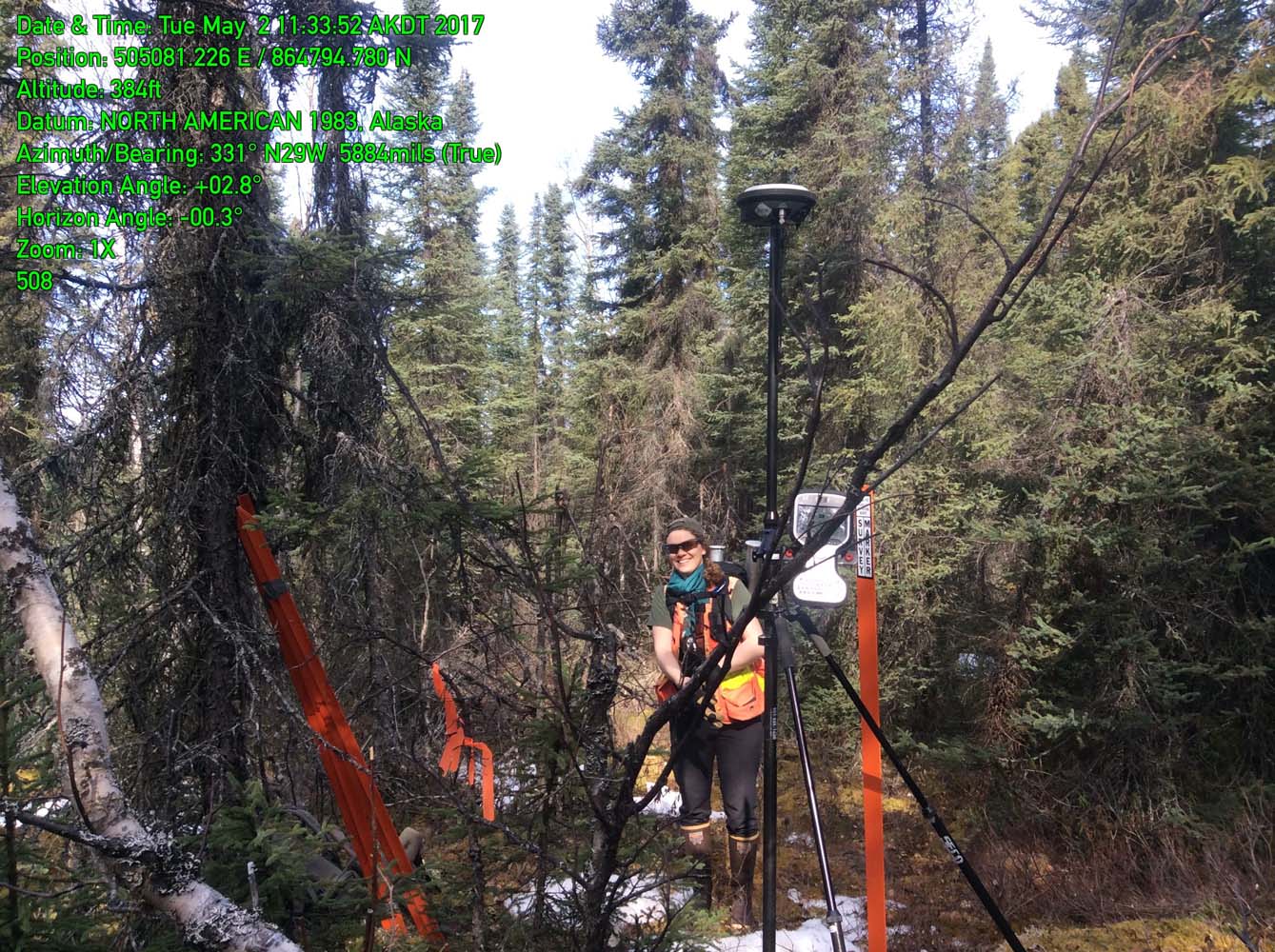
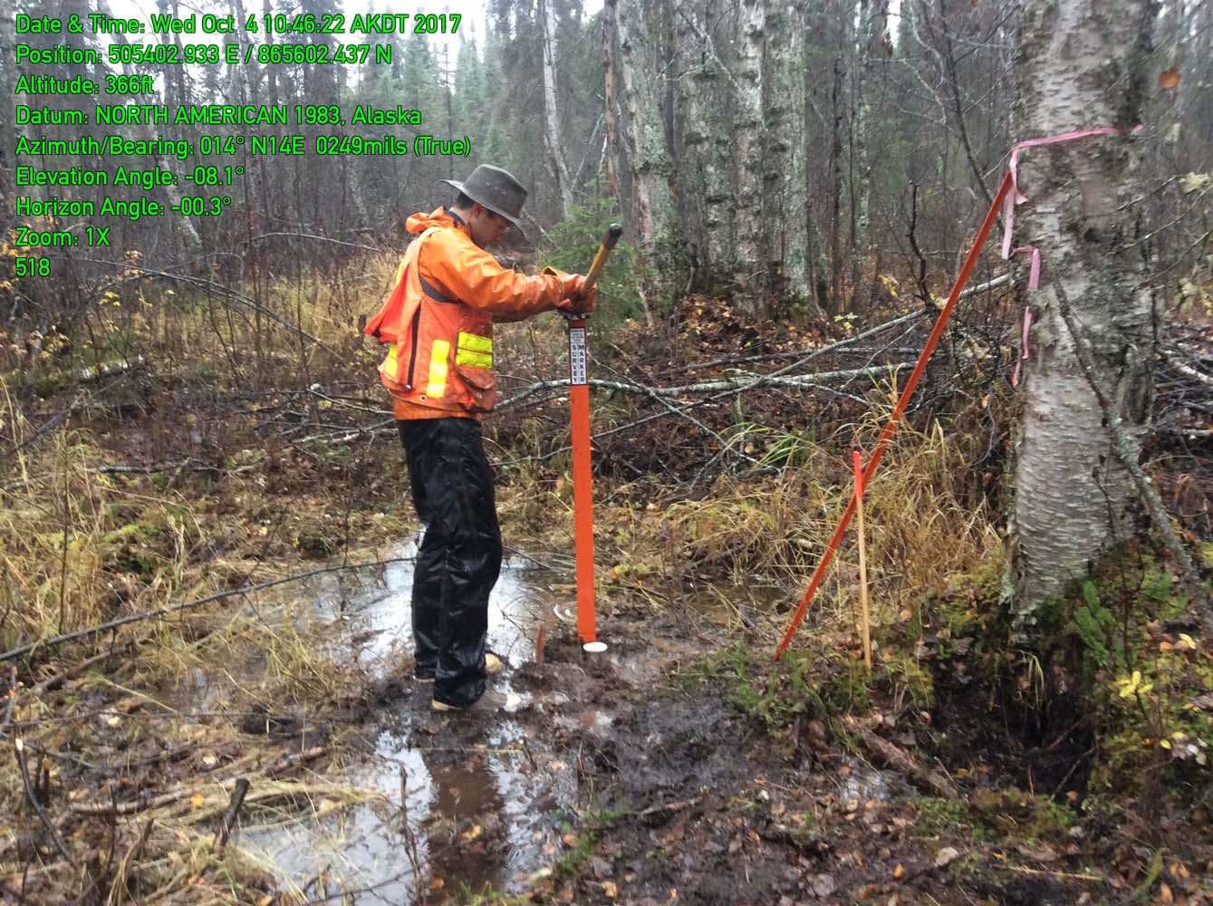
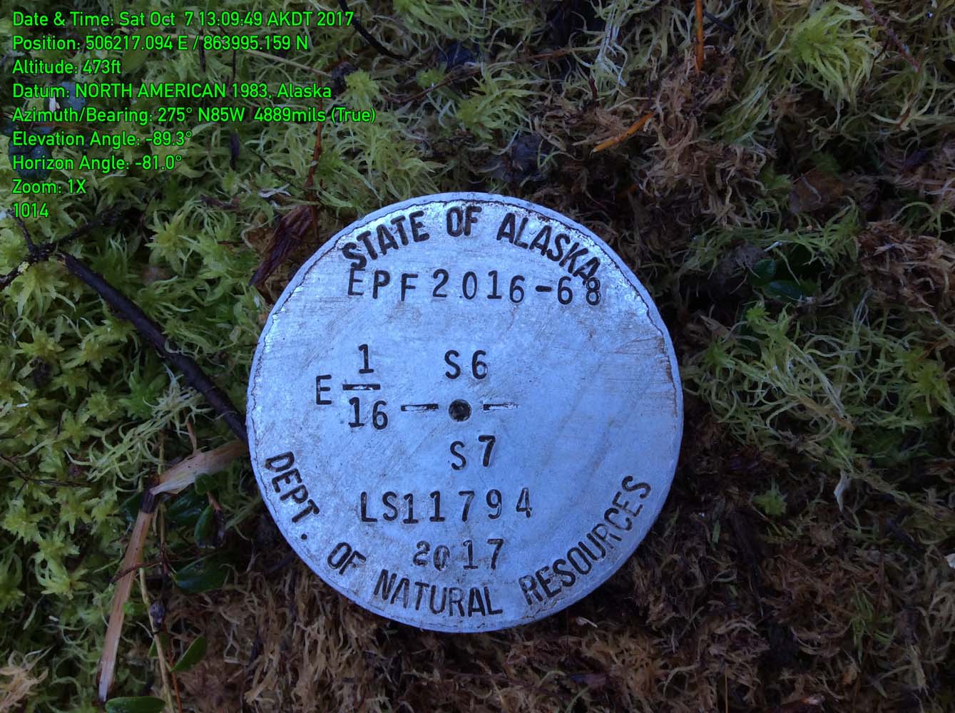
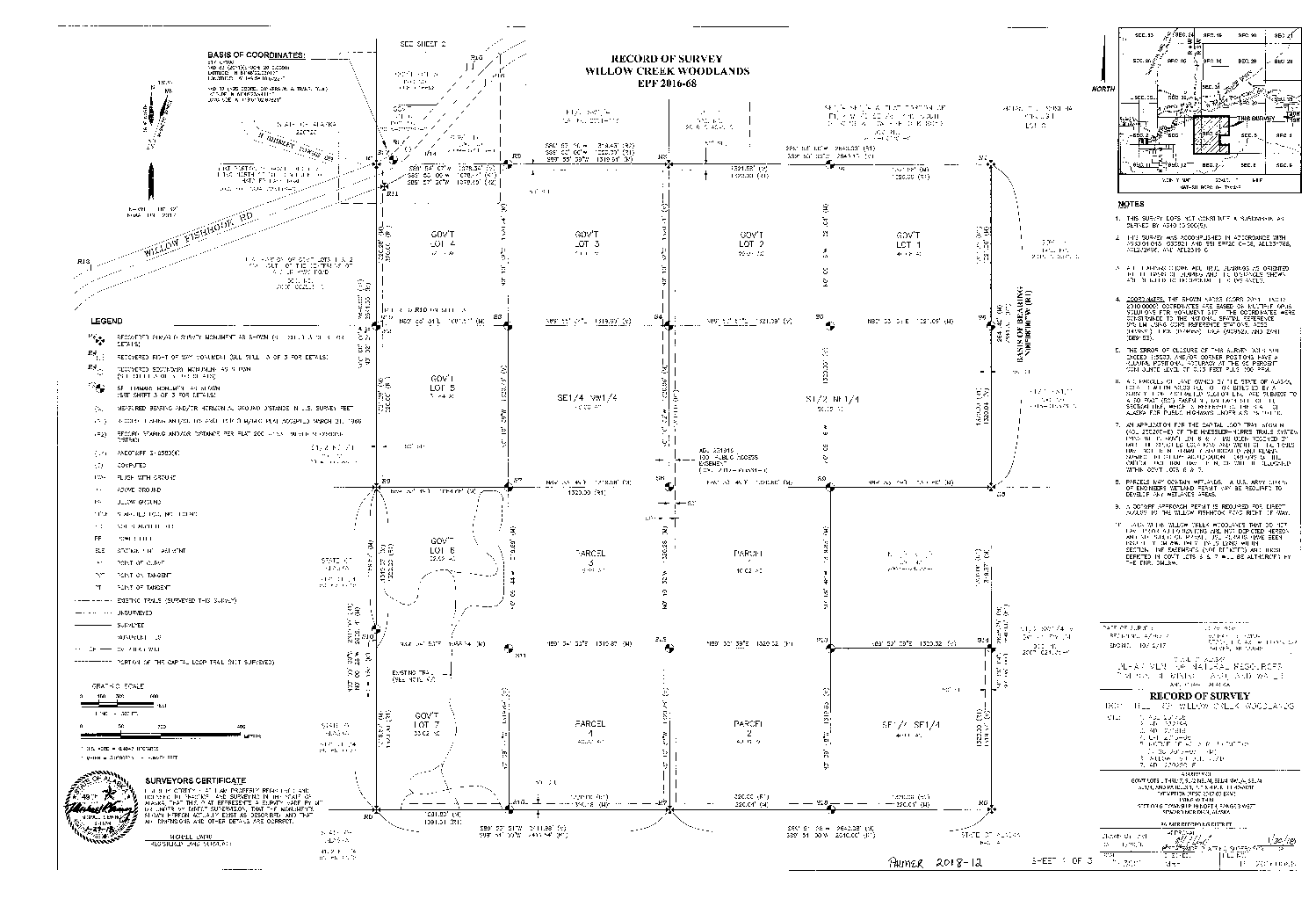
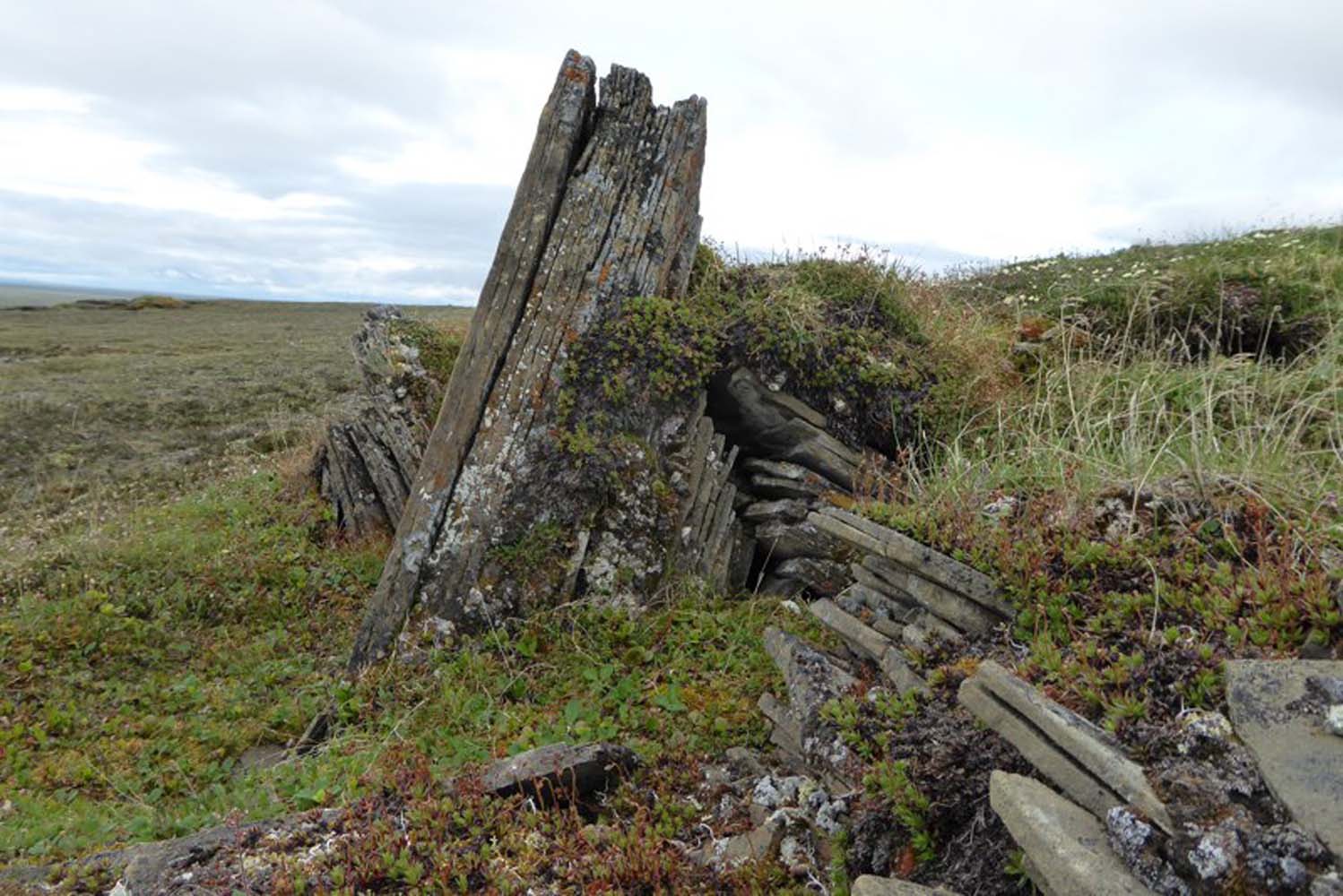
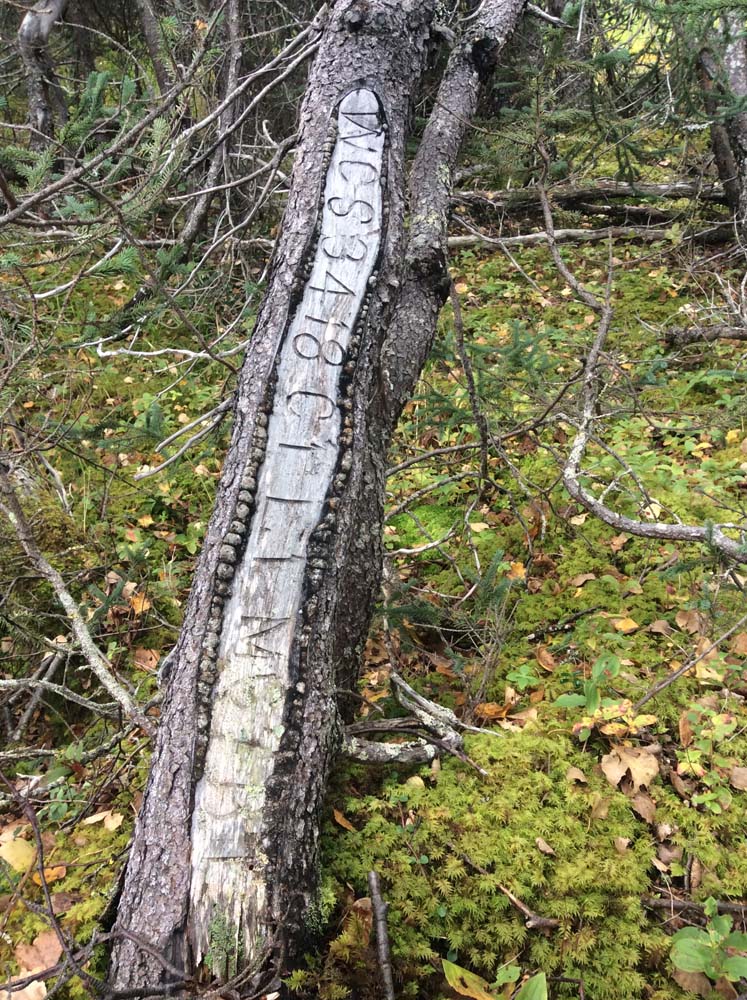
Willow Creek Woodlands Survey for ADNR
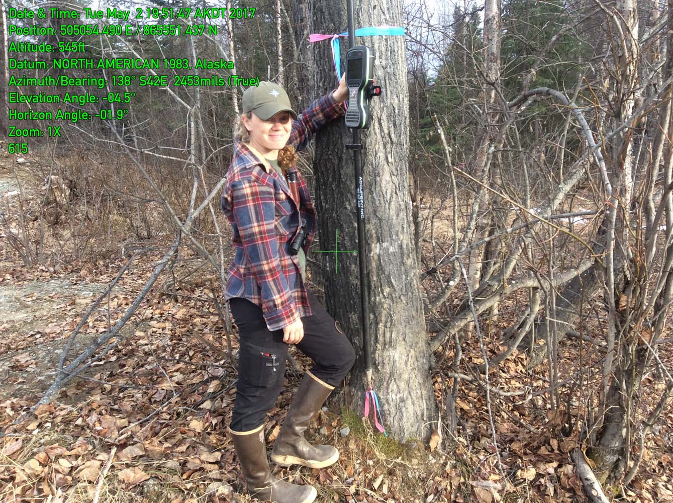
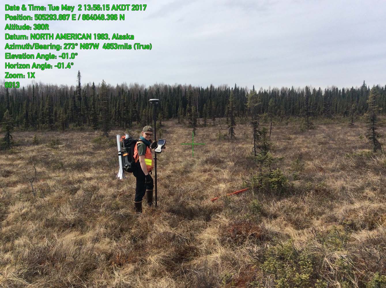
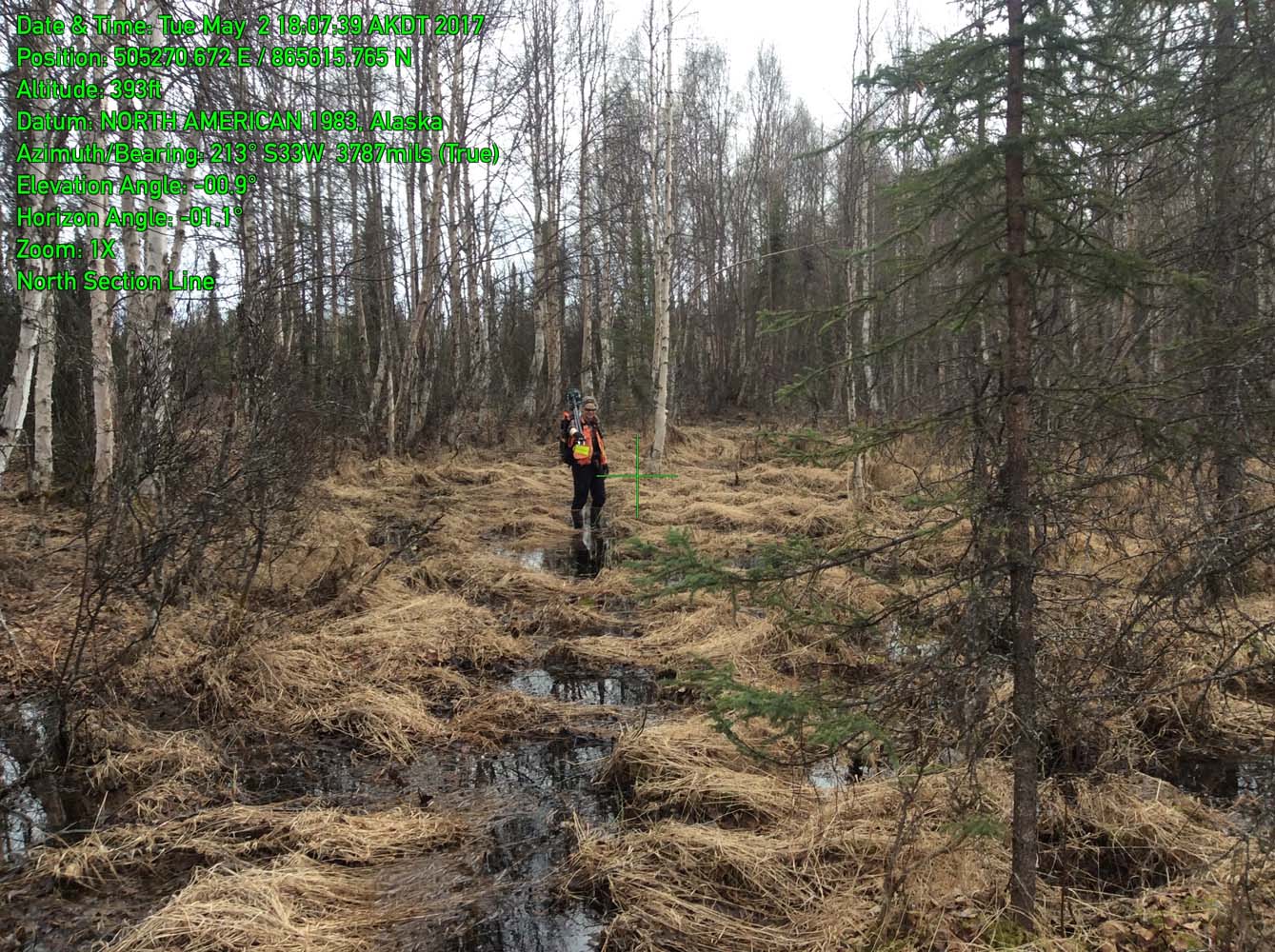
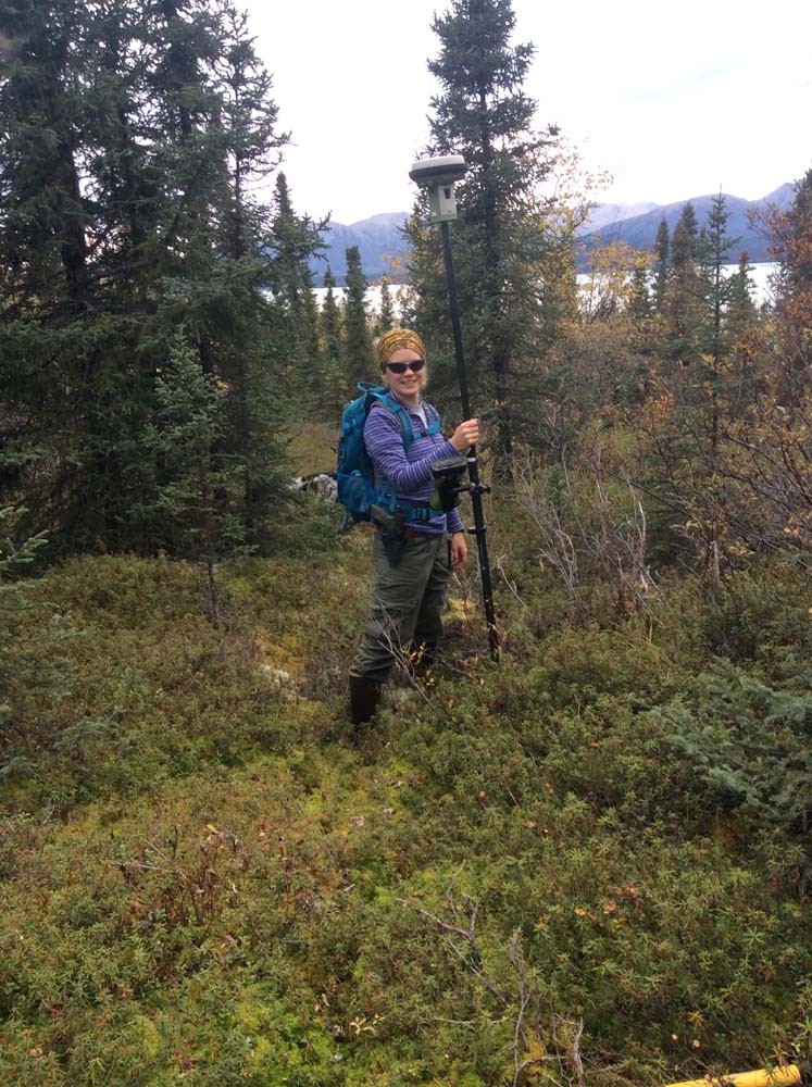
RECON surveyed and platted 640 acres of State-owned land as a Record of Survey, enabling the Department of Natural Resources to offer the parcels in a public auction in Spring 2018. Field surveyors located and surveyed right-of-way, utilities, trails, water features, monuments and bearing trees.
SERVICES EMPLOYED:
| Surveying: control, platting, final monumentation | Project Management |
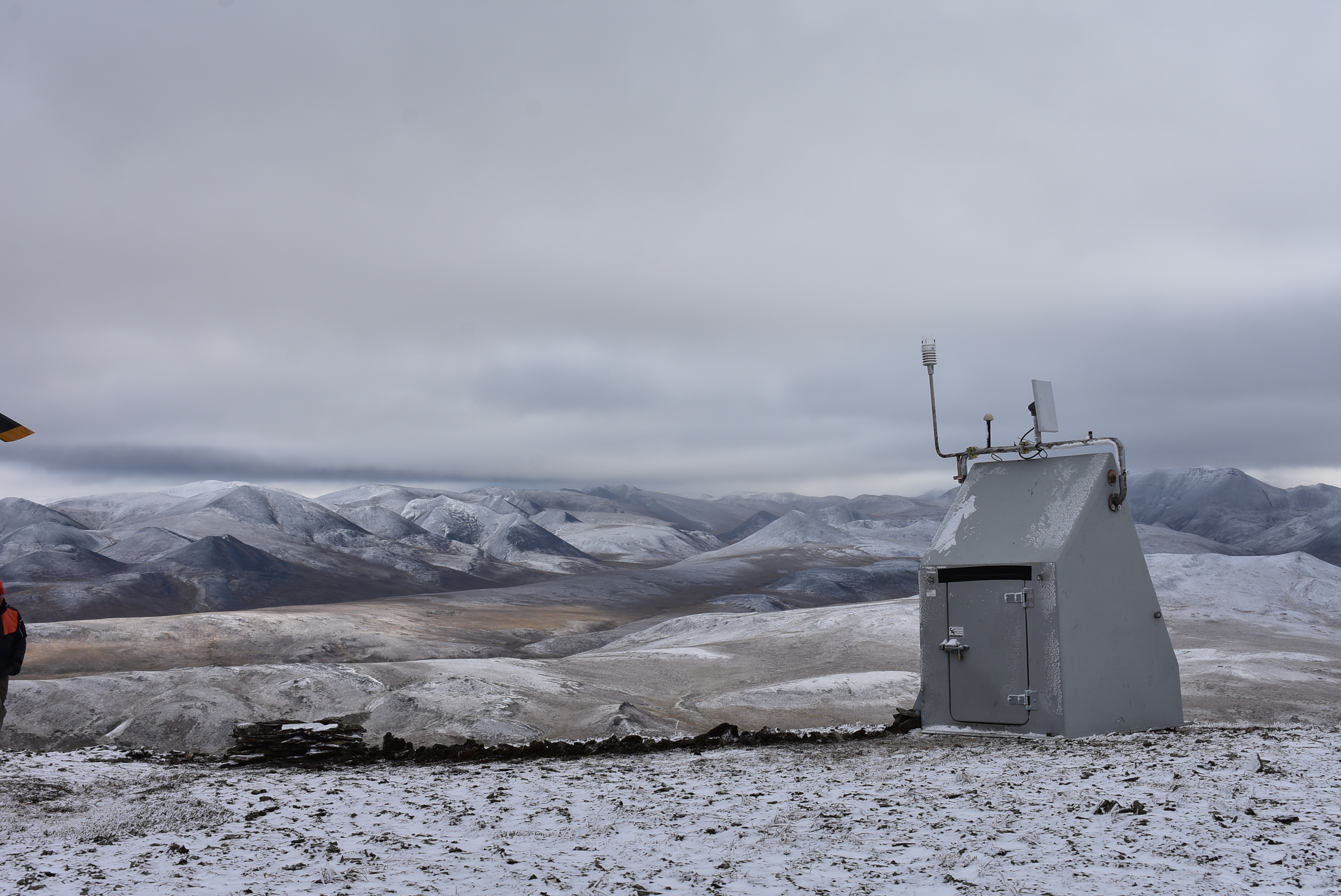
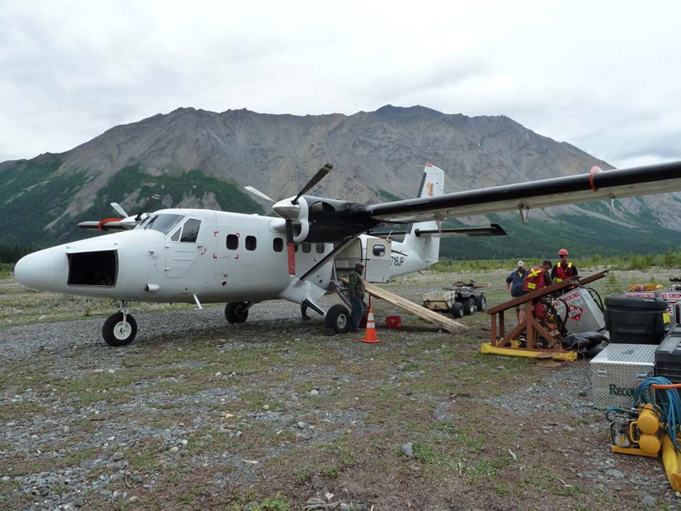
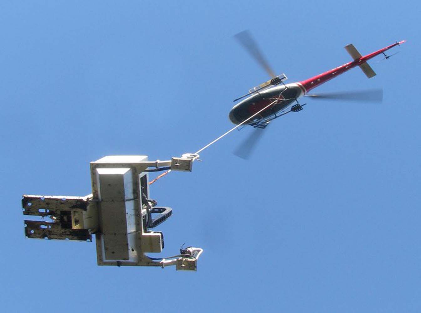
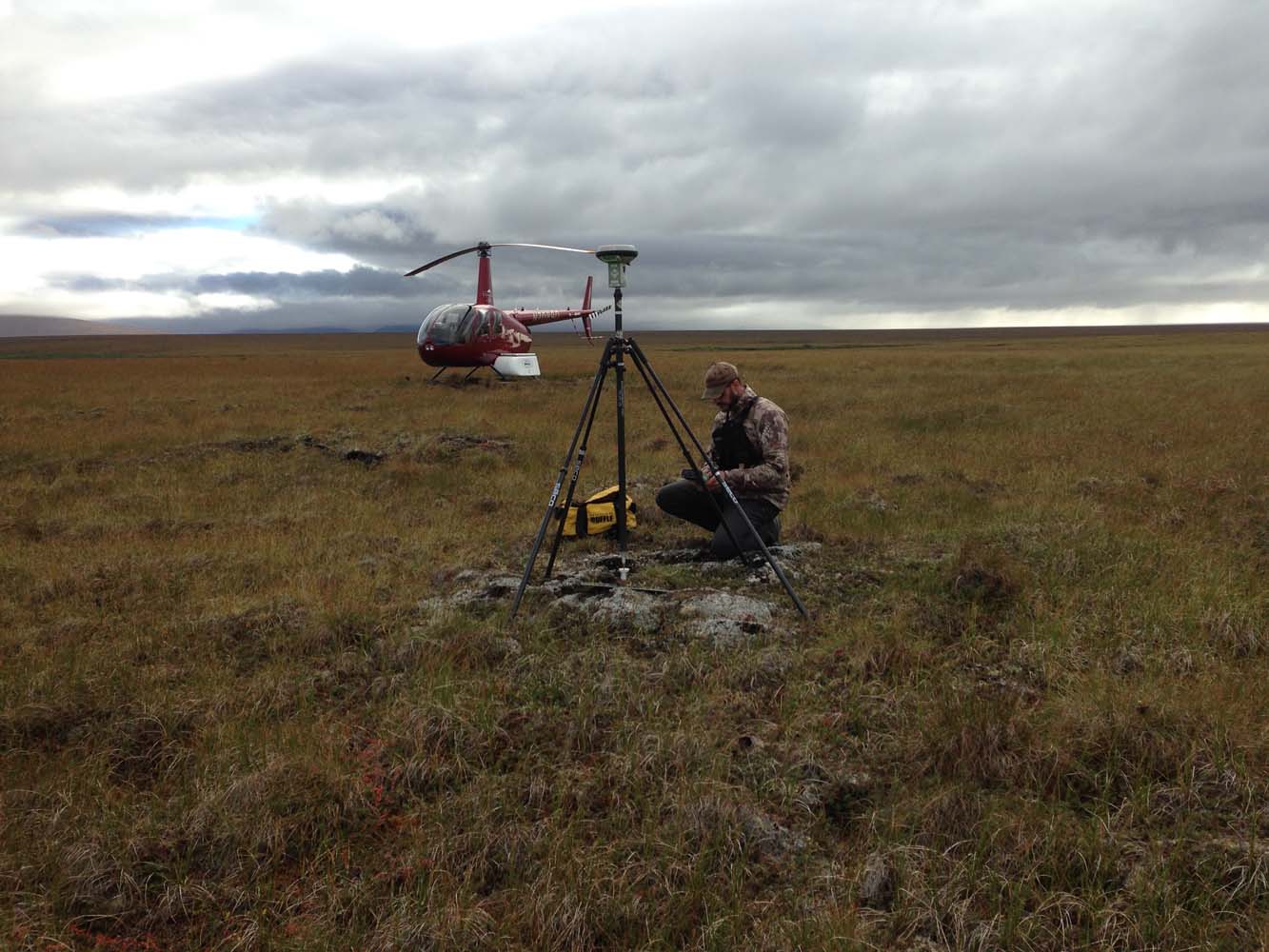
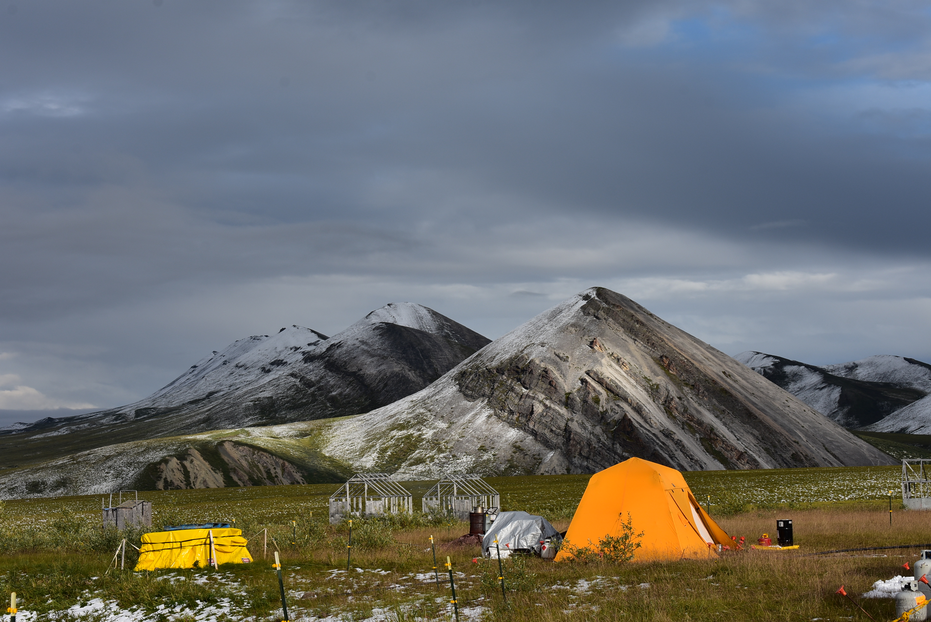
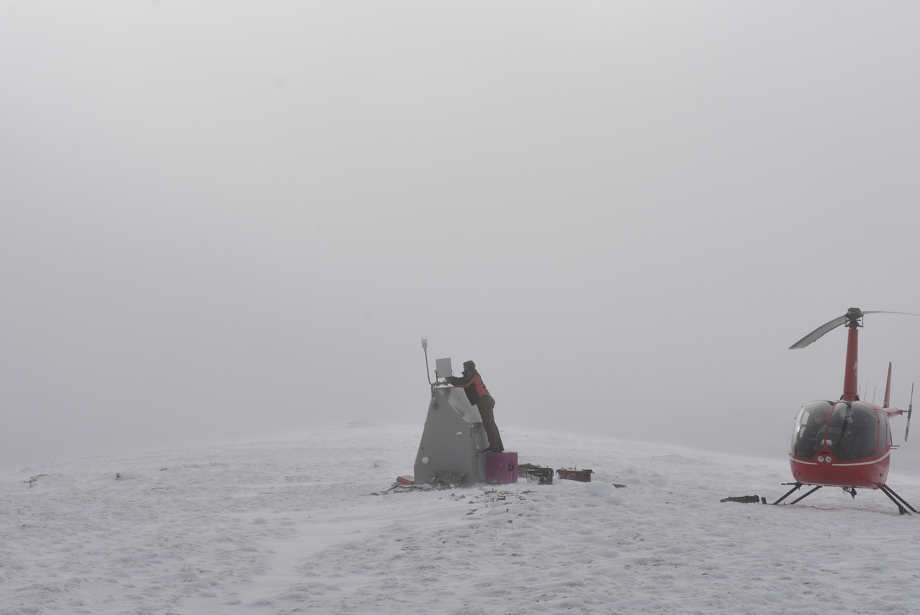
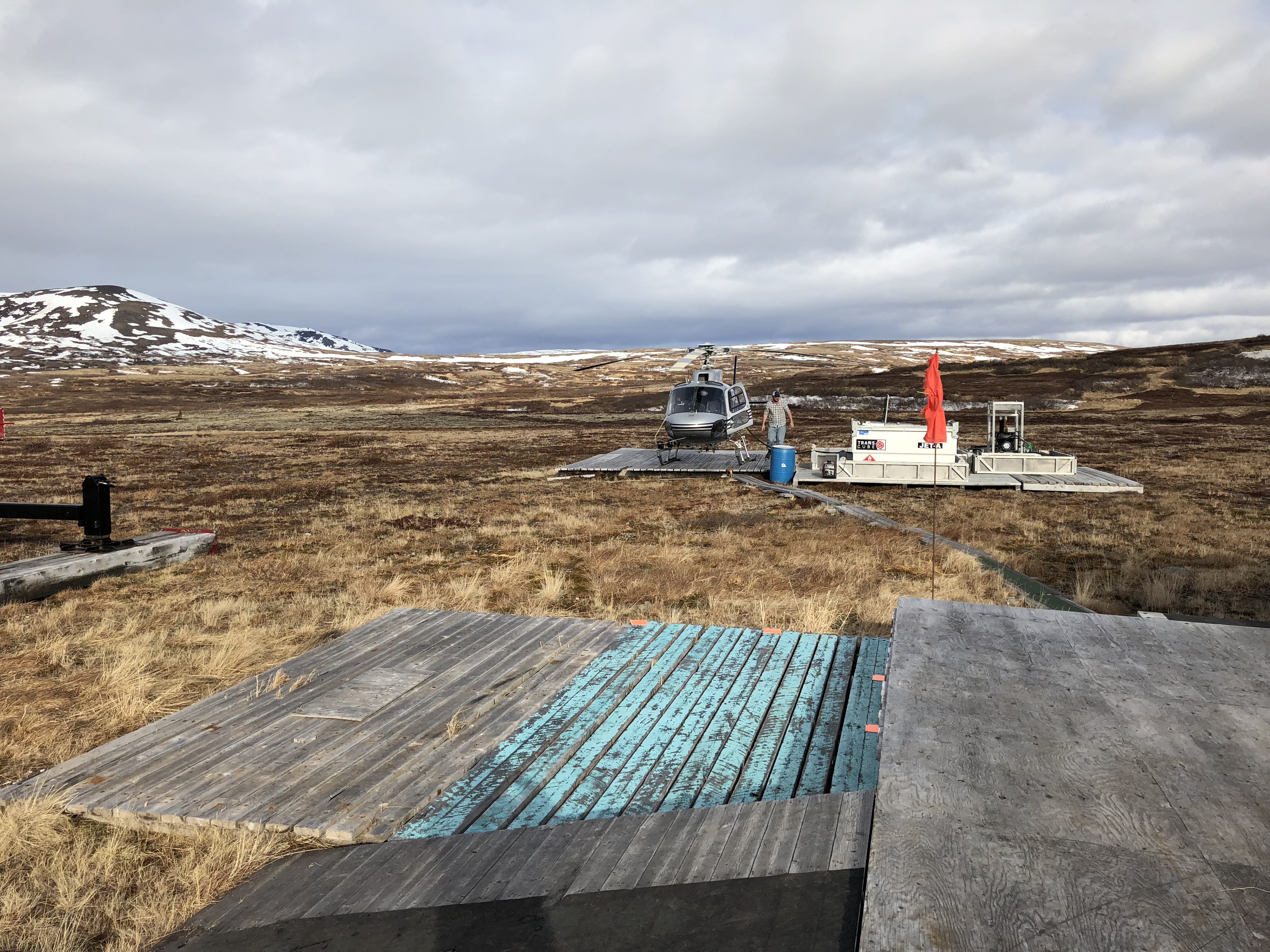
Alaska Transportable Array for the EarthScope Project
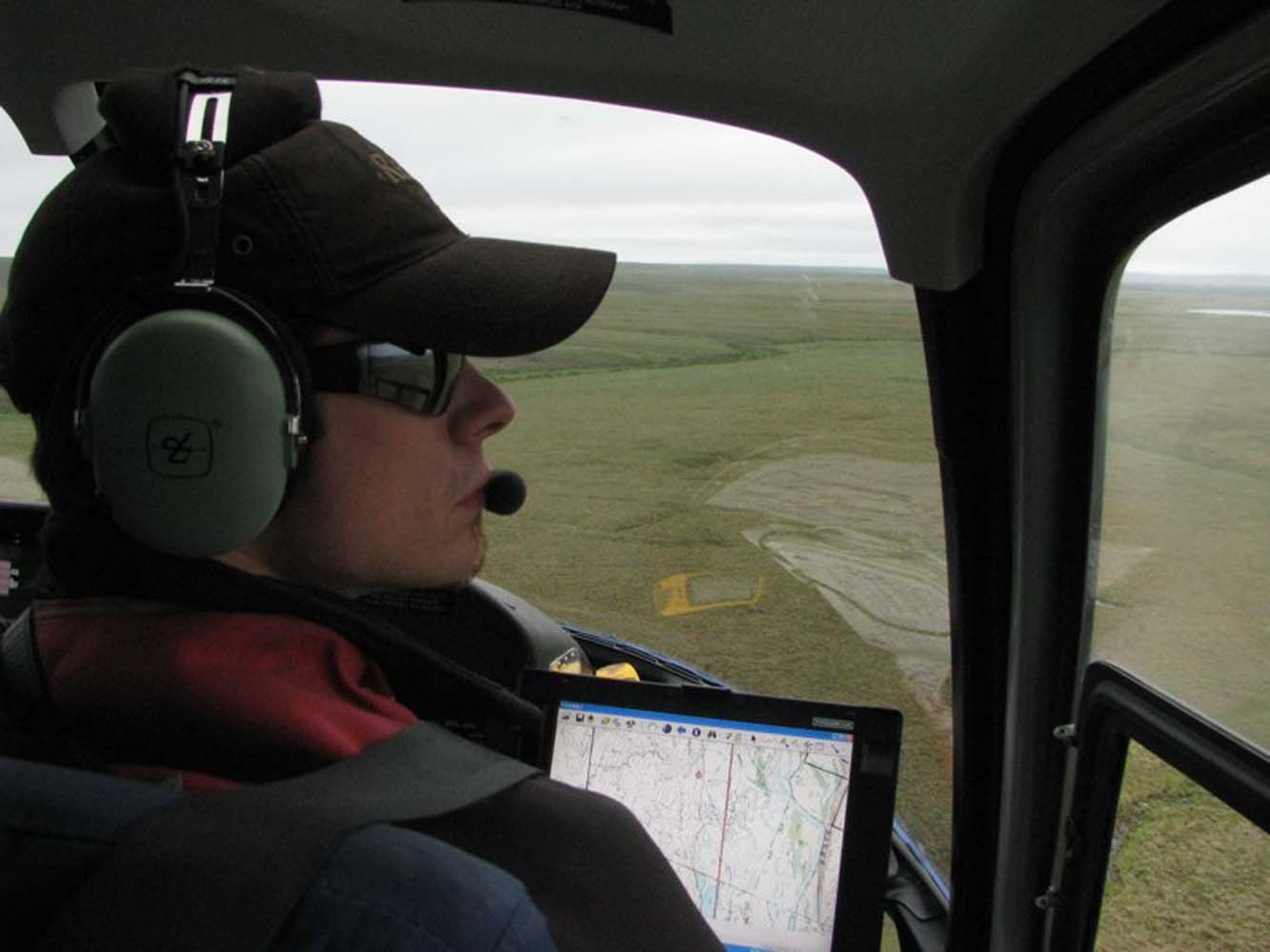
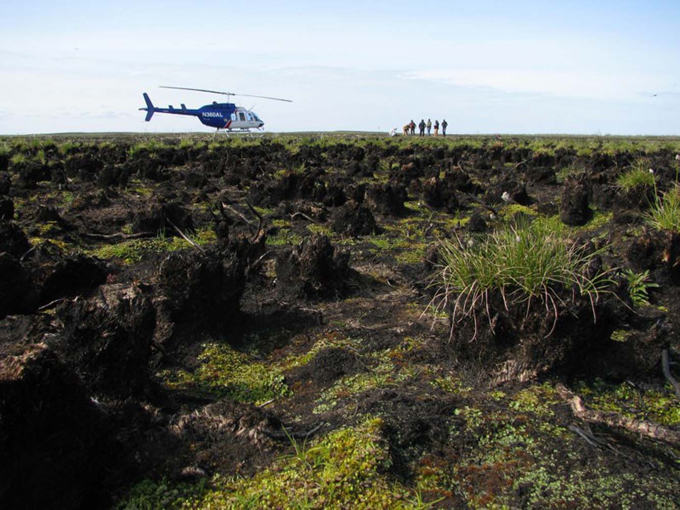
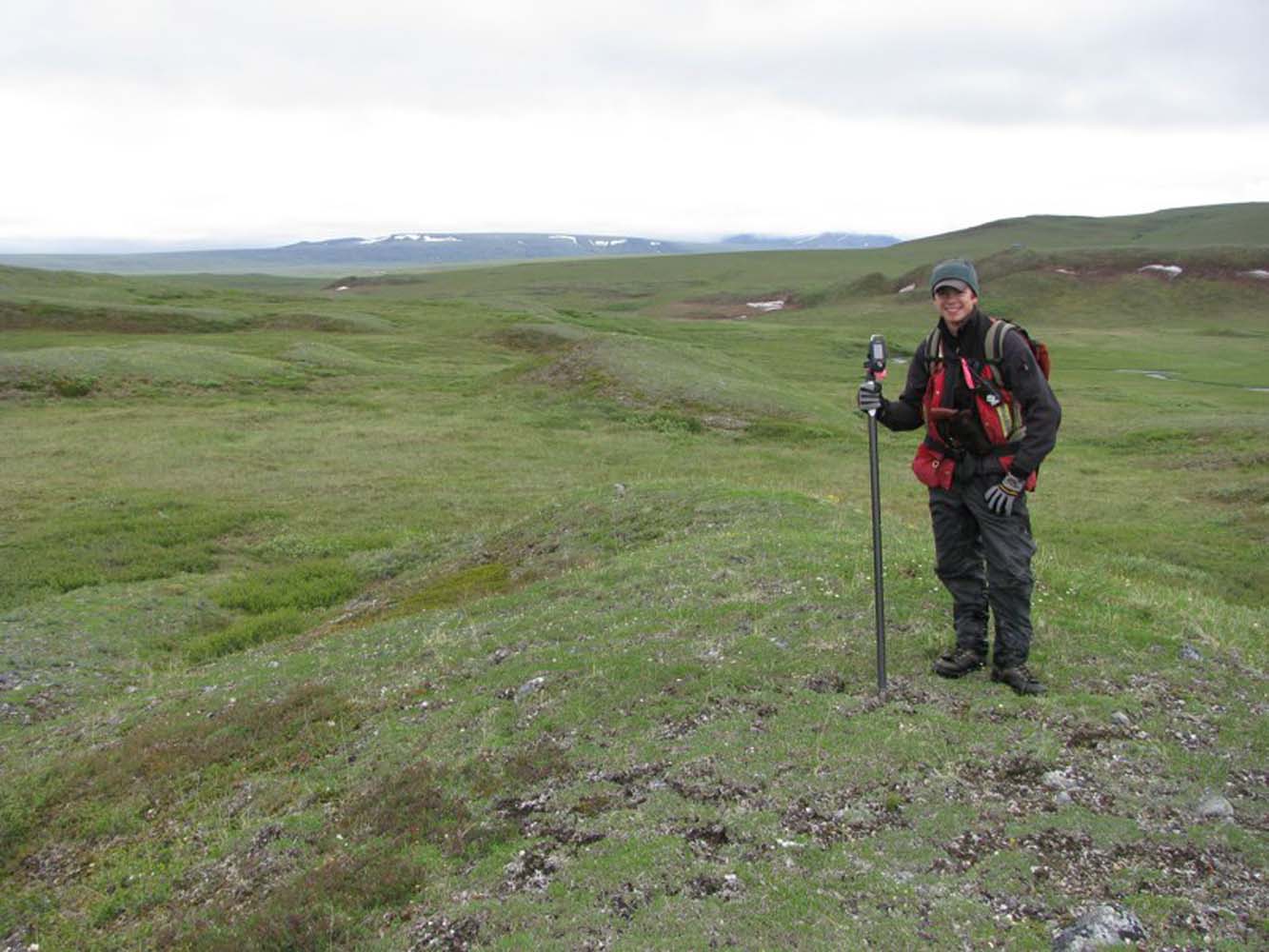
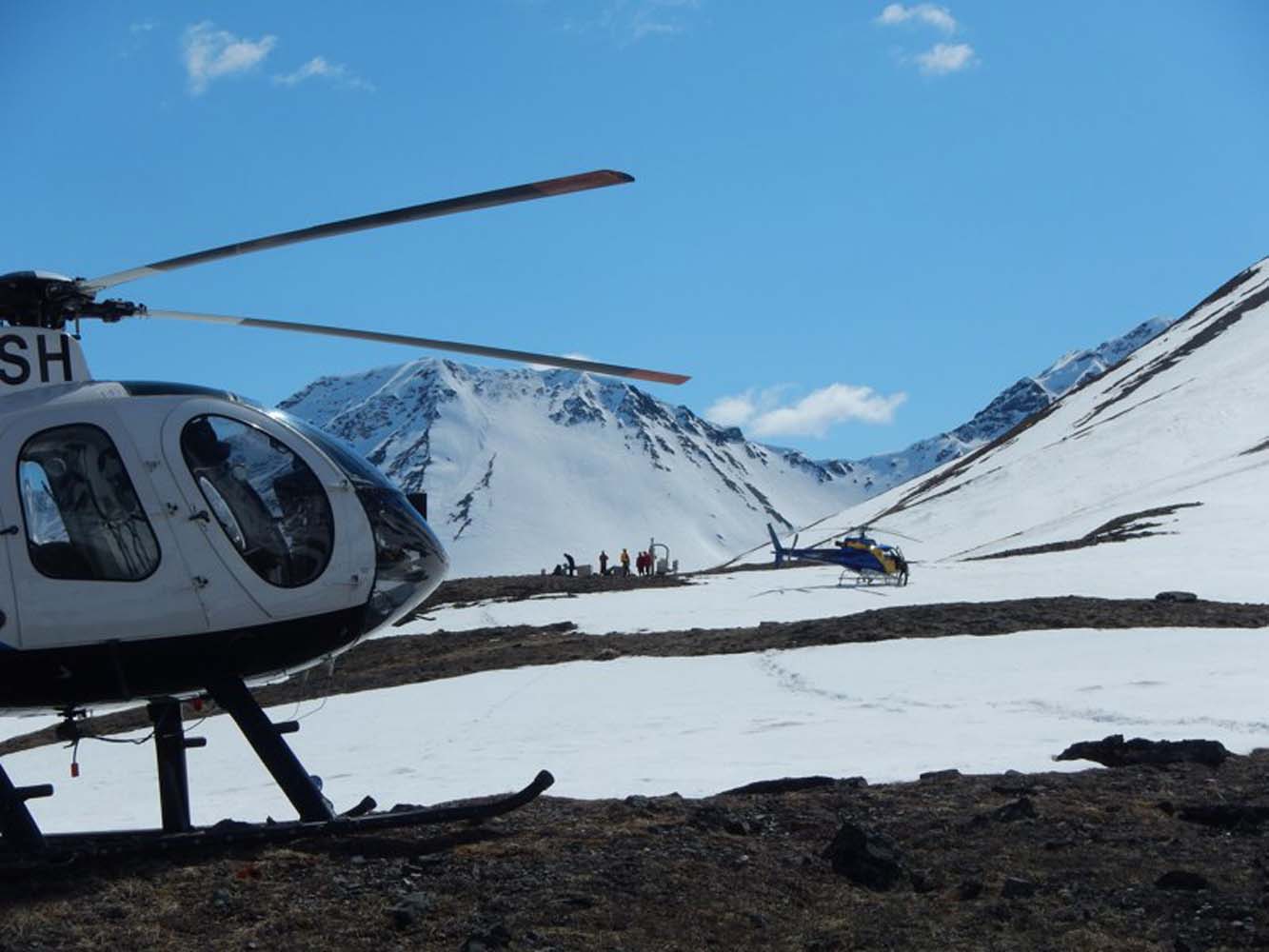
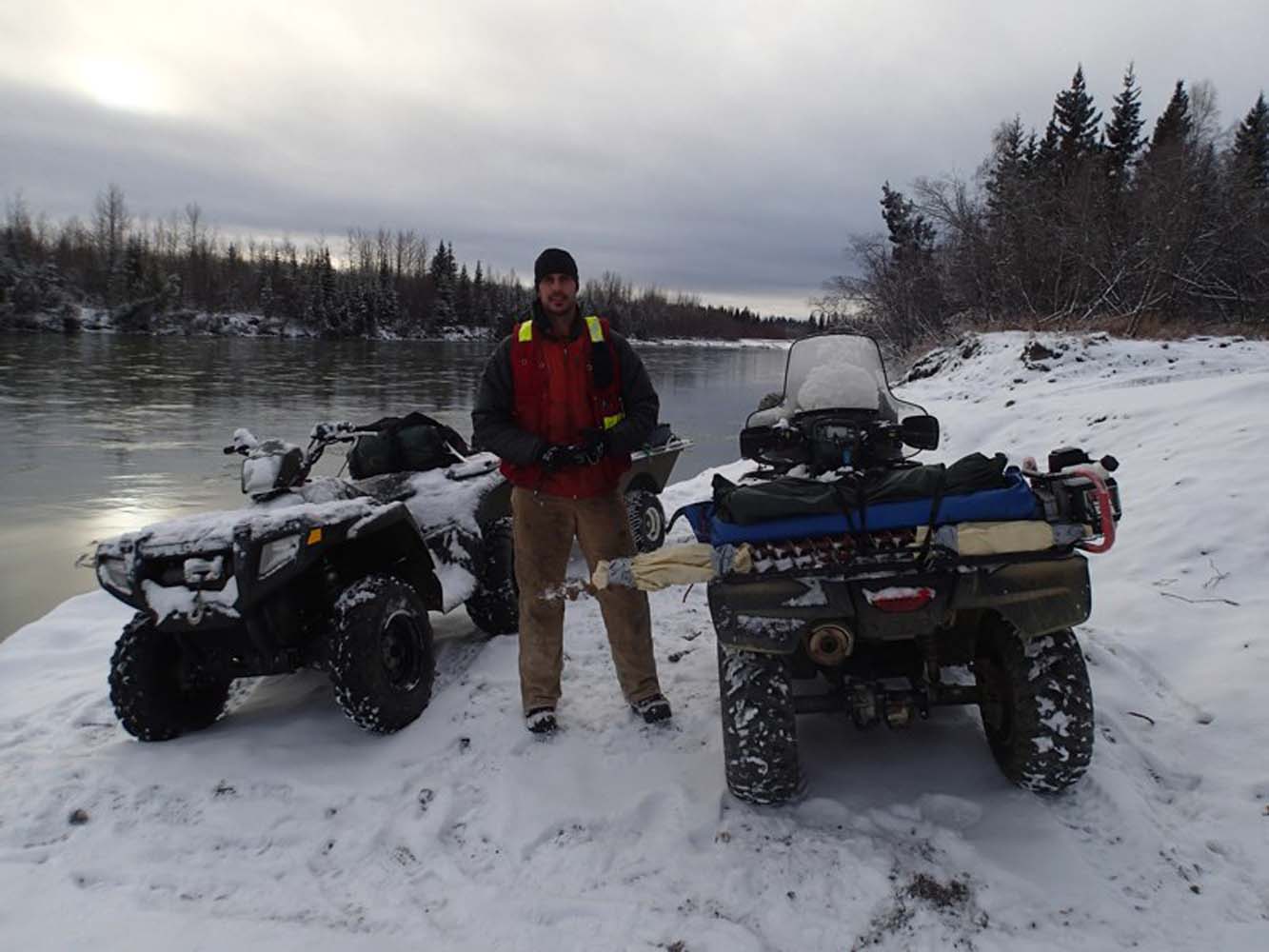
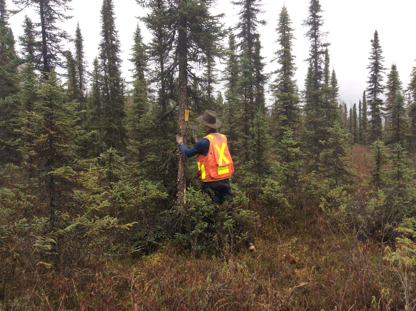
RECON has supported the EarthScope seismic monitoring station program since 2013, beginning with development of the deployment and logistics plan followed by field reconnaissance to locate potential installation sites throughout Alaska and northwestern Canada. RECON then managed remote logistics for EarthScope’s field technical crews for the construction and installation of the sites from 2015-2017.
SERVICES EMPLOYED:
| Remote Site Reconnaissance | Remote Logistics Management | Provided station installation team member |

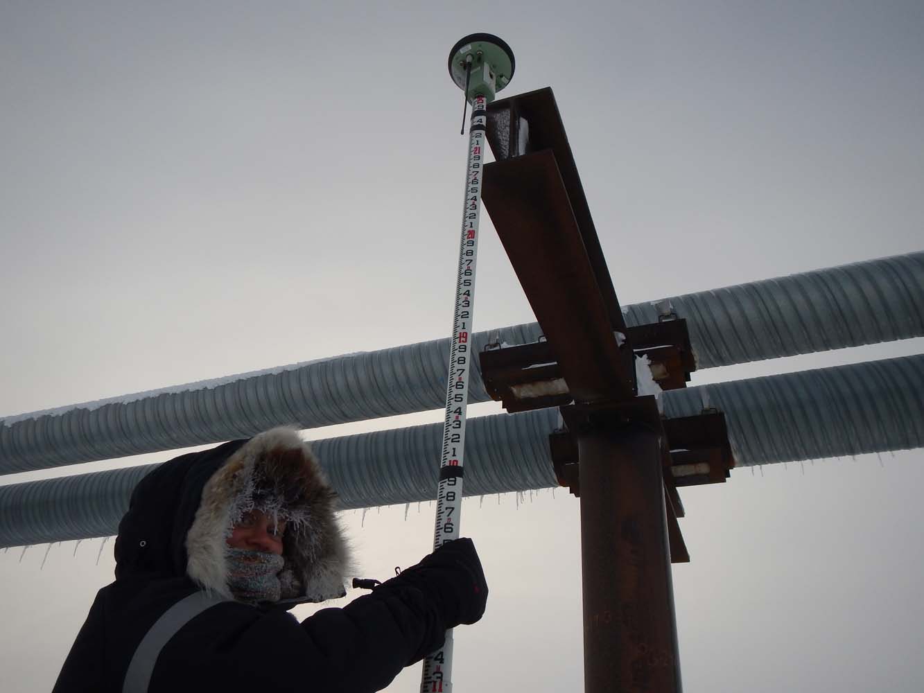
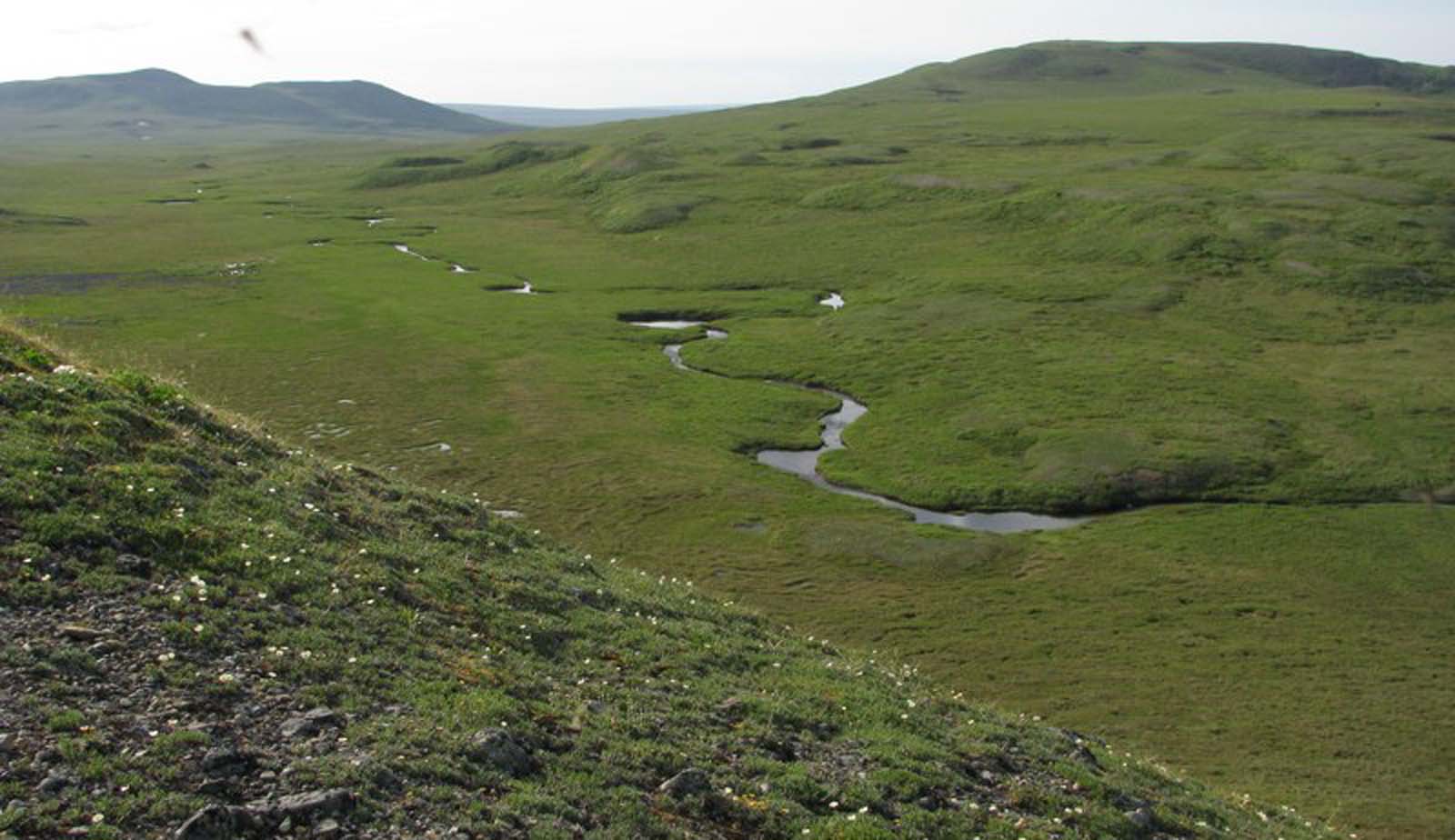
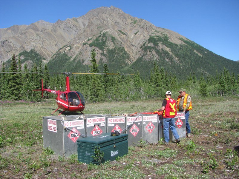
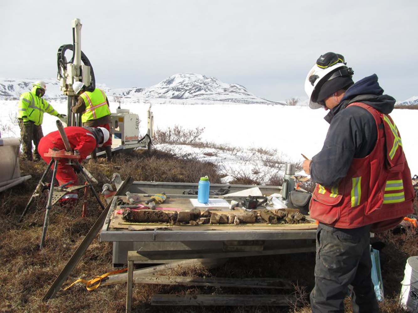
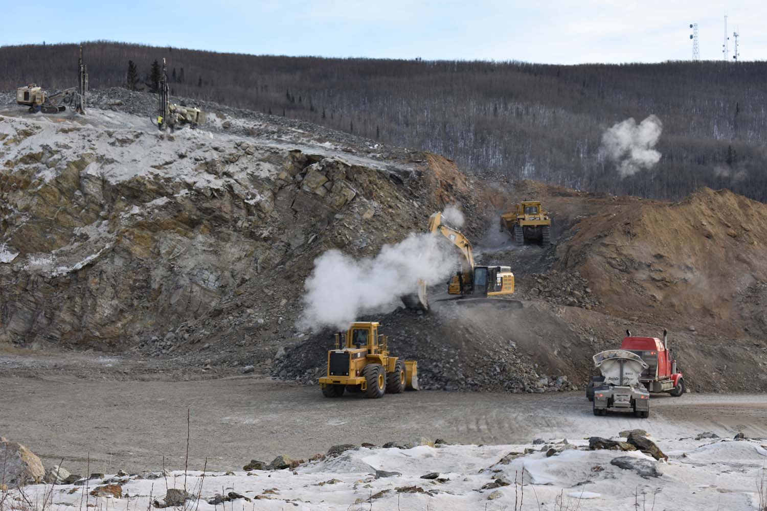
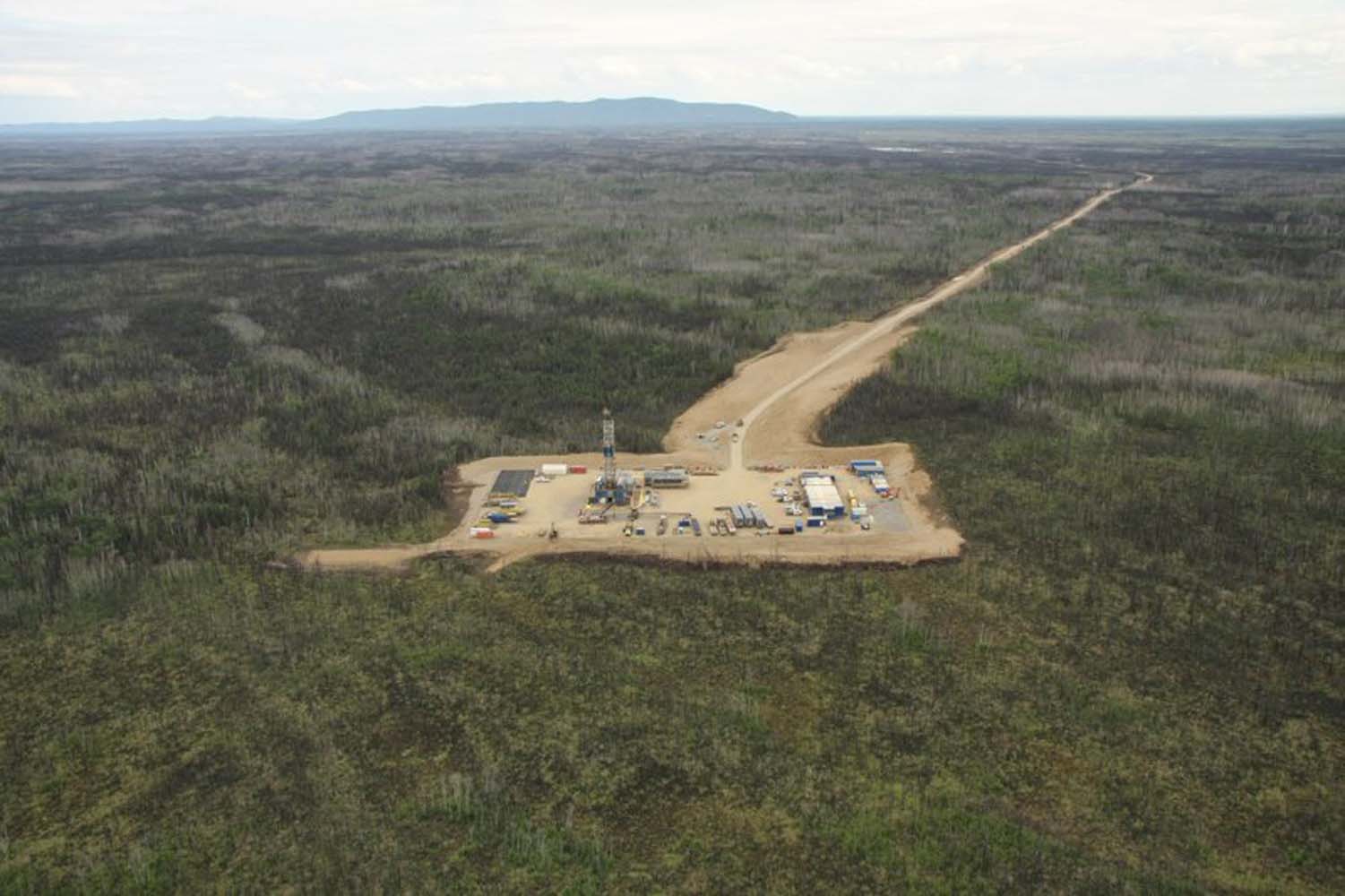
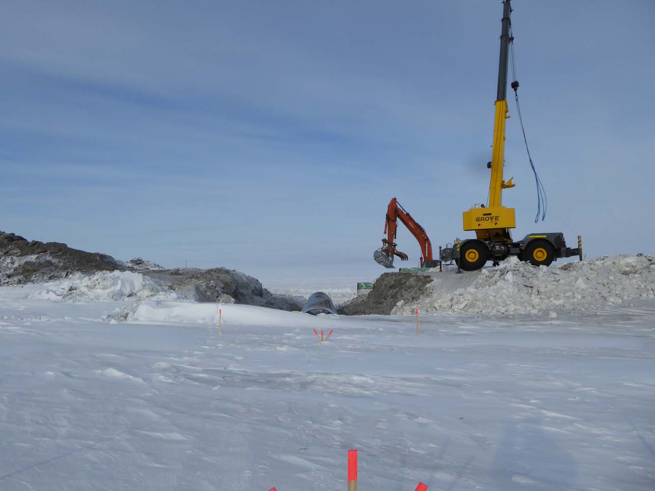
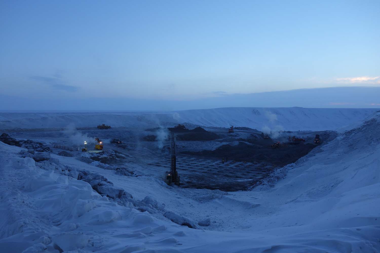
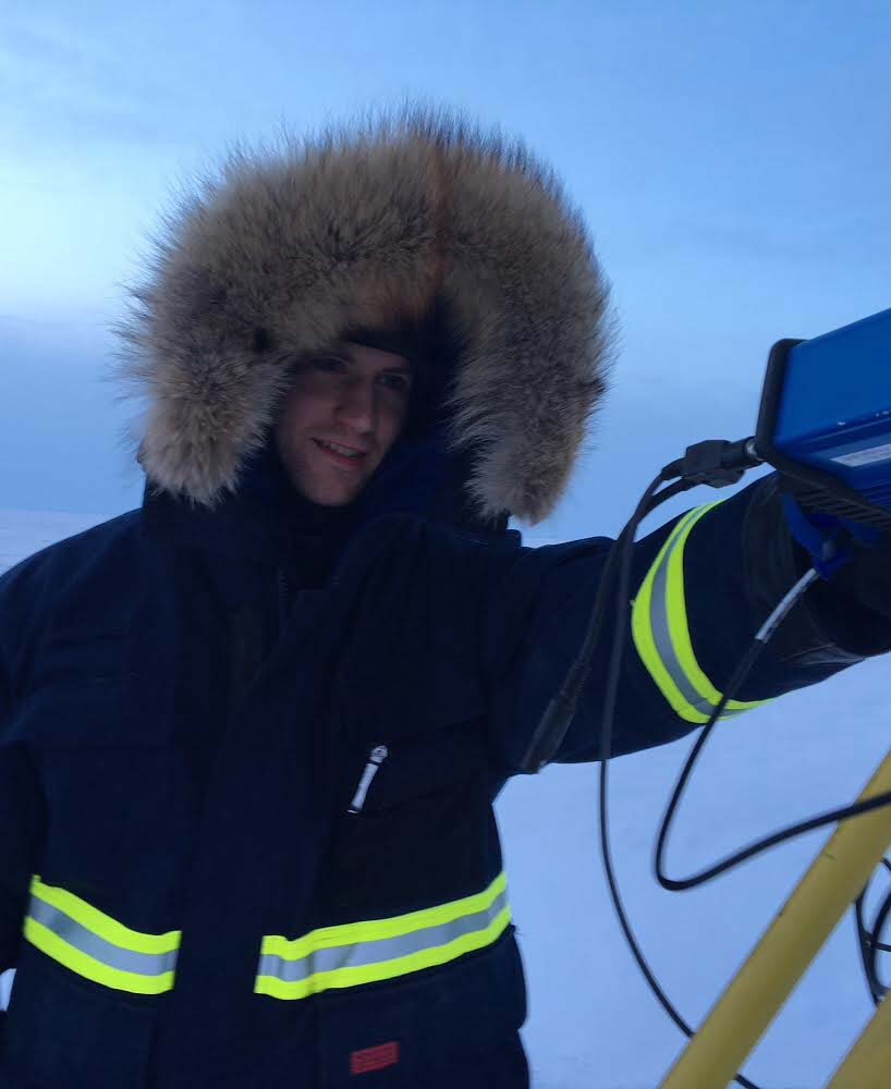
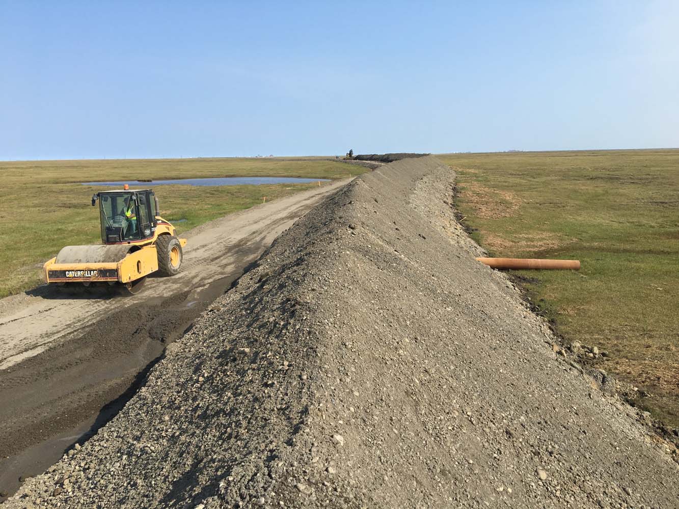
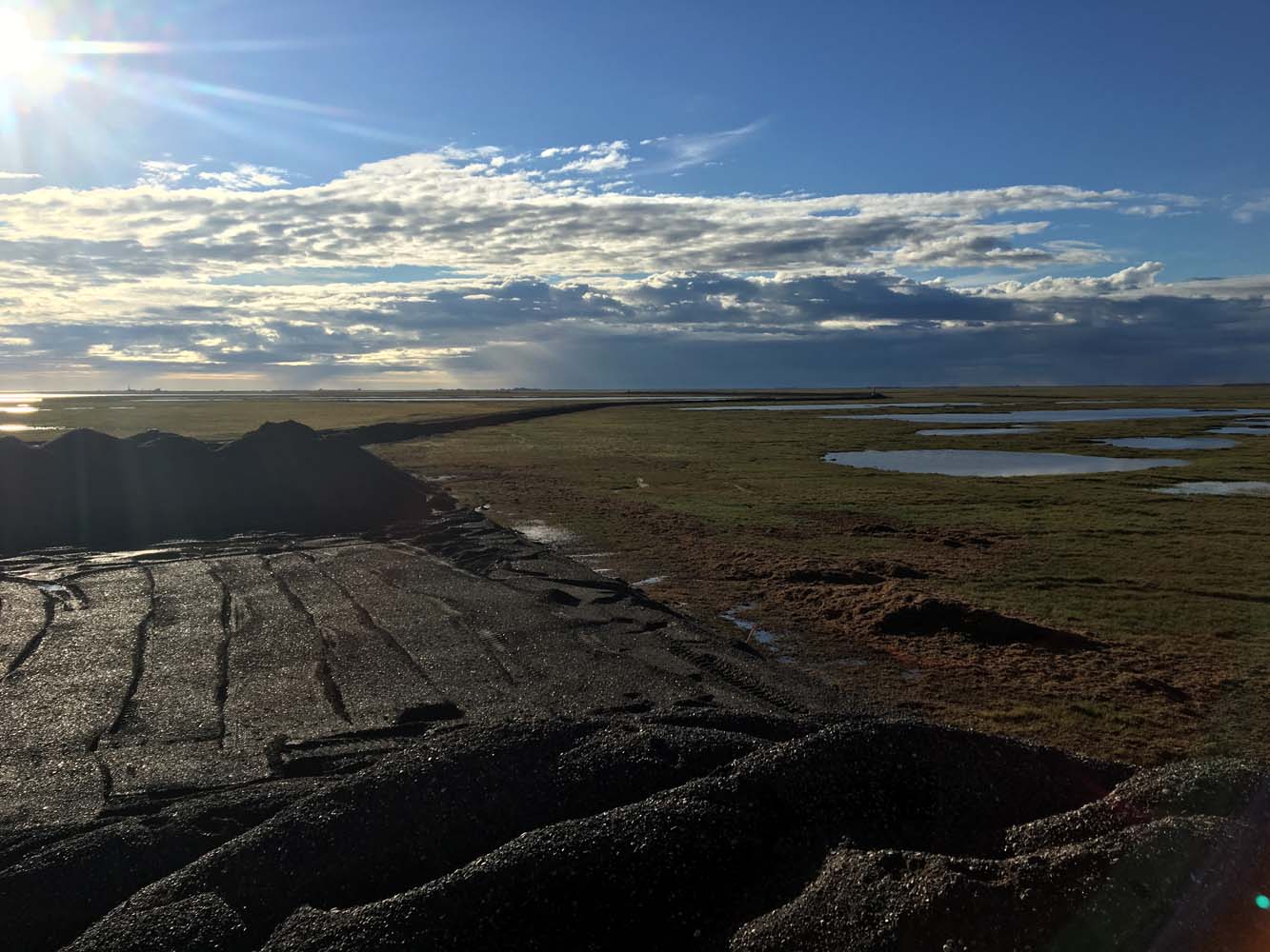
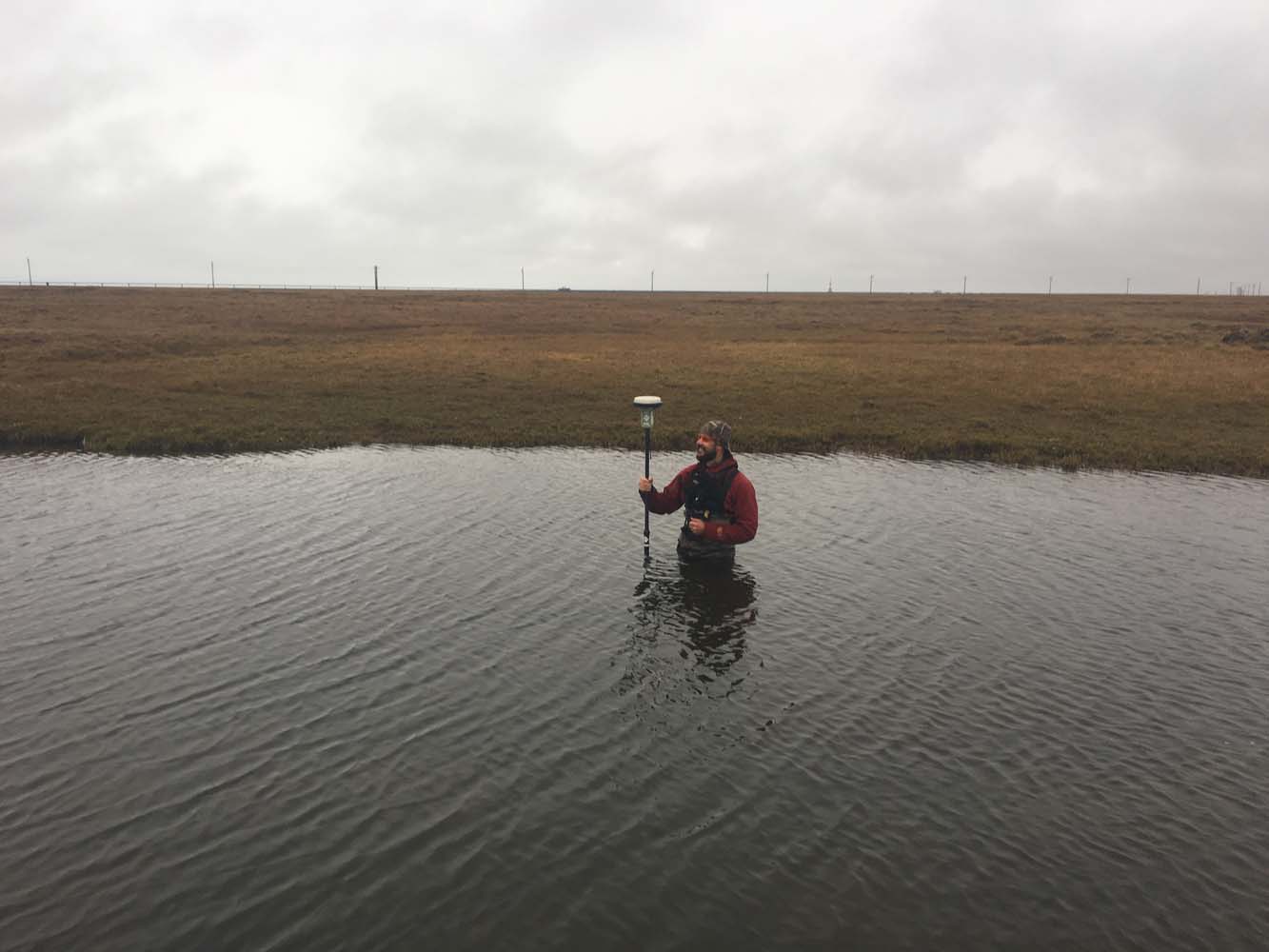
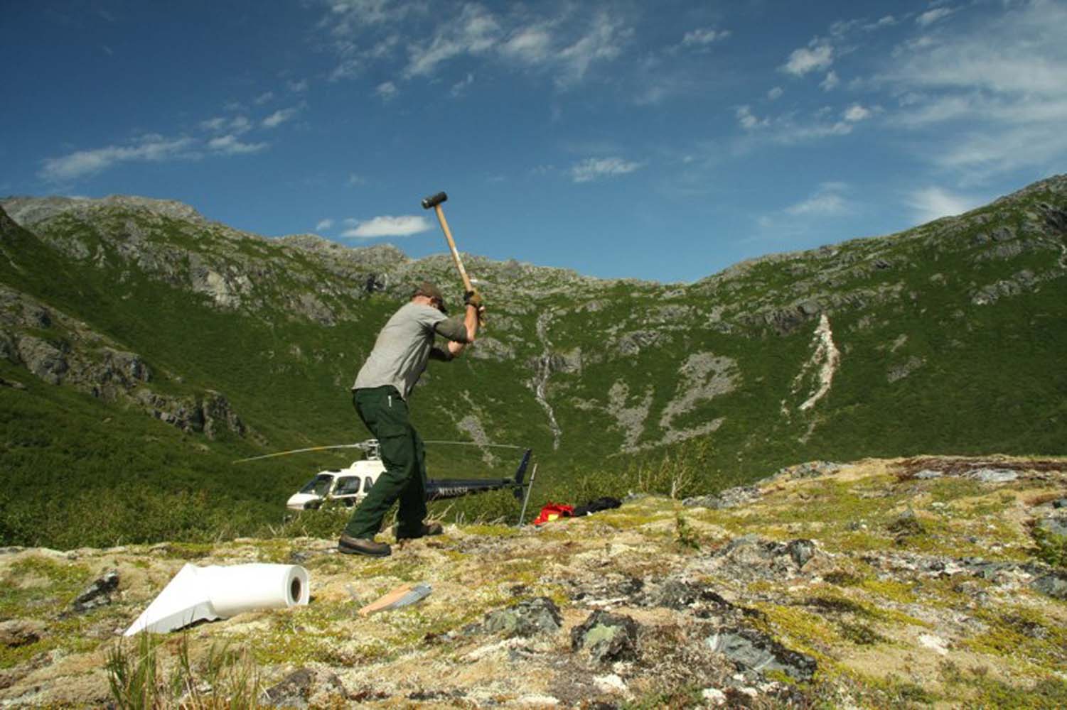
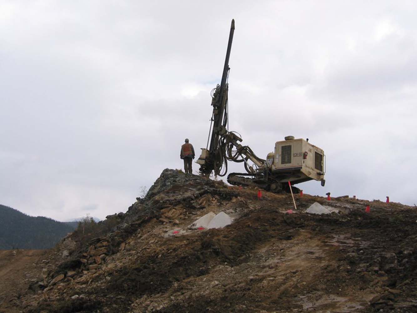
Arctic Slope Region Resource Development Projects
RECON has provided engineering and surveying services to support resource development in the Arctic region since 2015. Several access road and oilfield development pad designs have been completed and constructed.
SERVICES EMPLOYED:
| Civil Engineering | Surveying | Geotechnical Investigations |
| Gravel source mine plans | GIS: Data management |
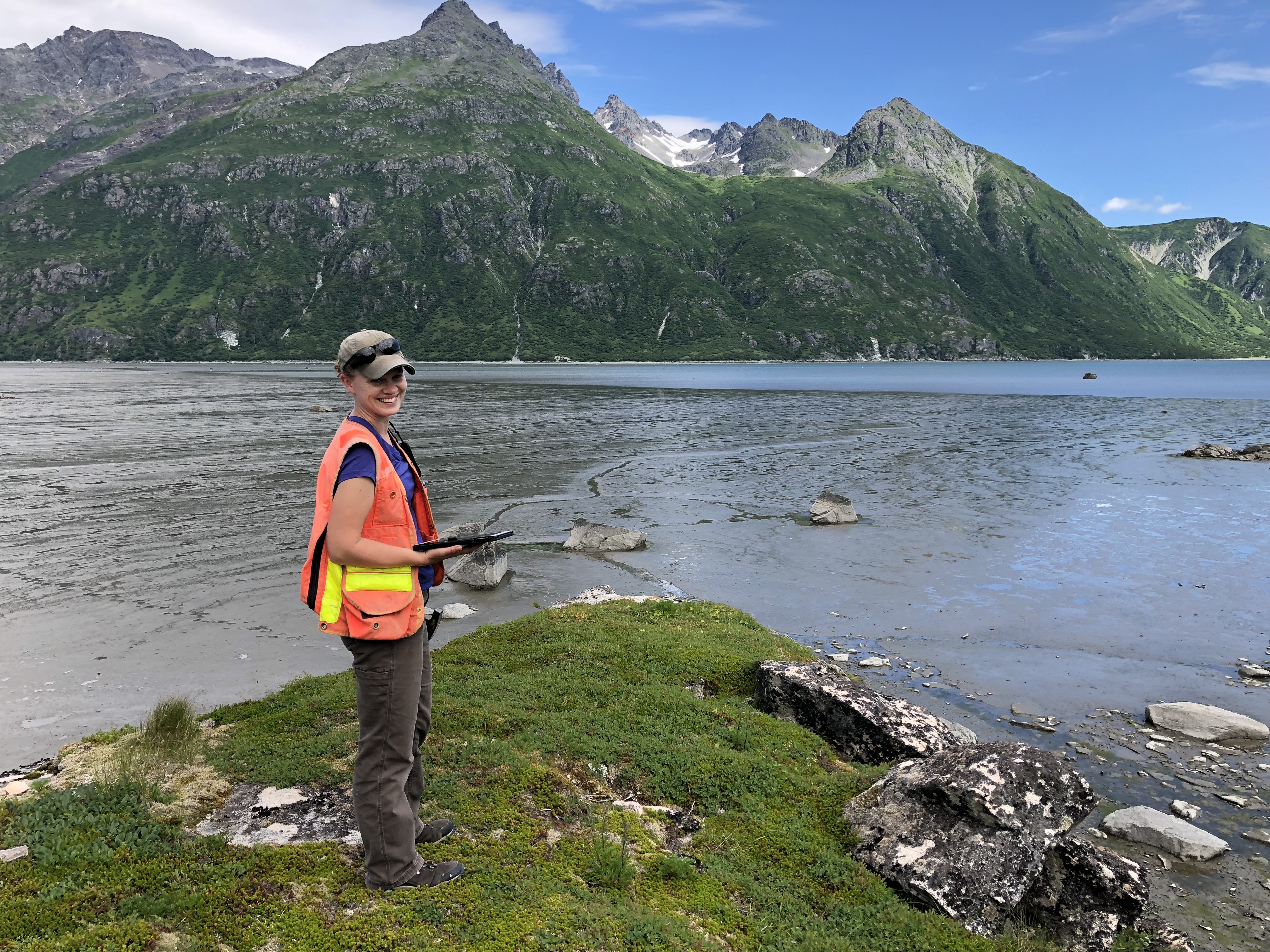
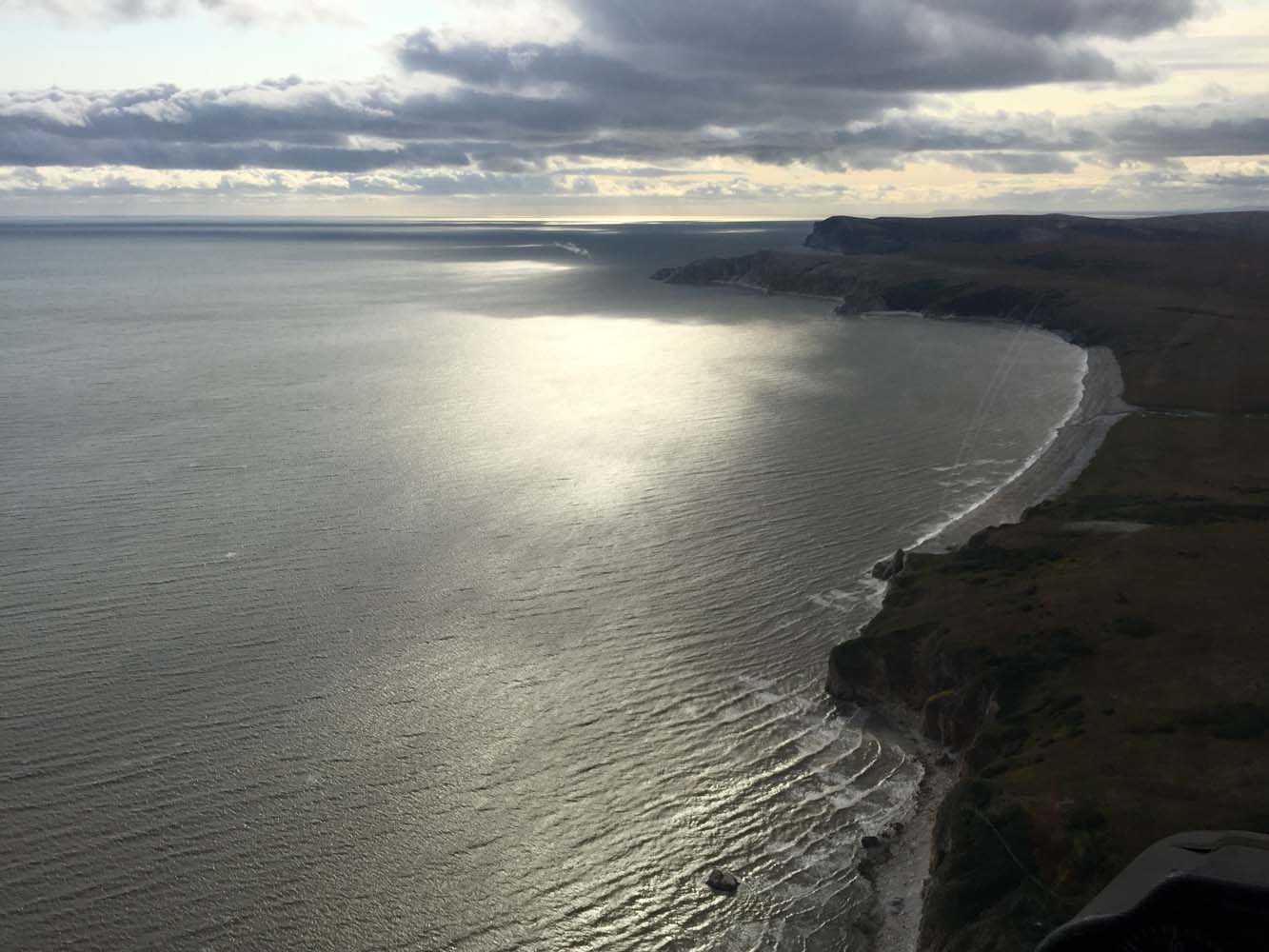
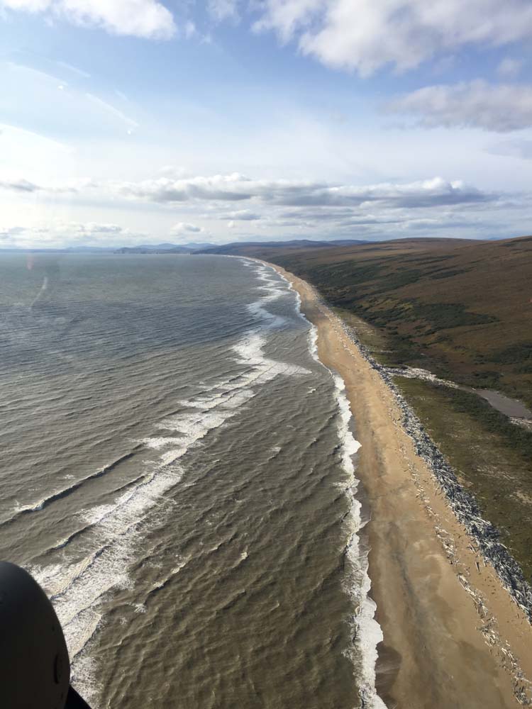
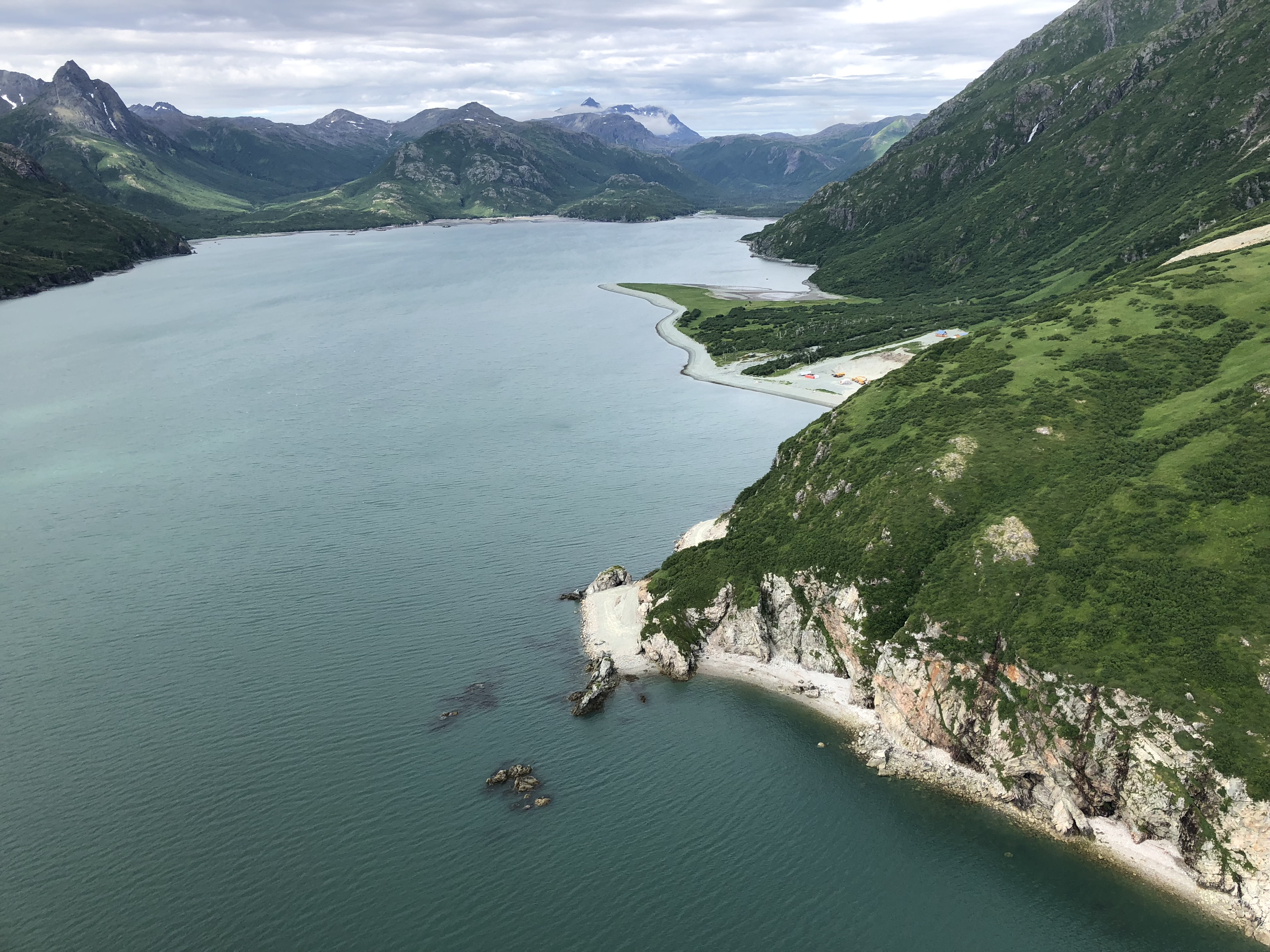
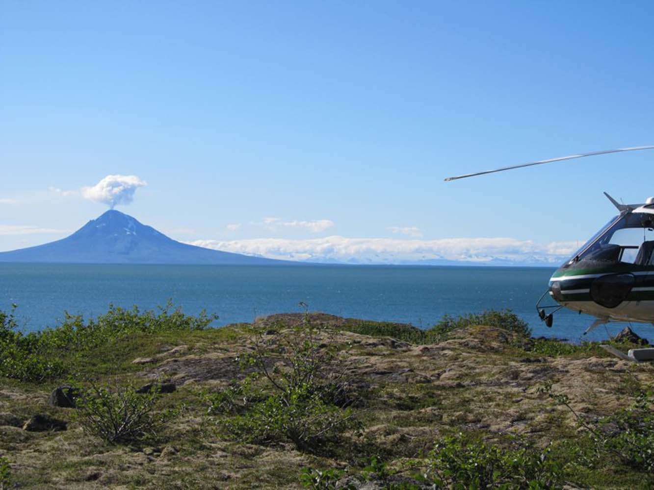
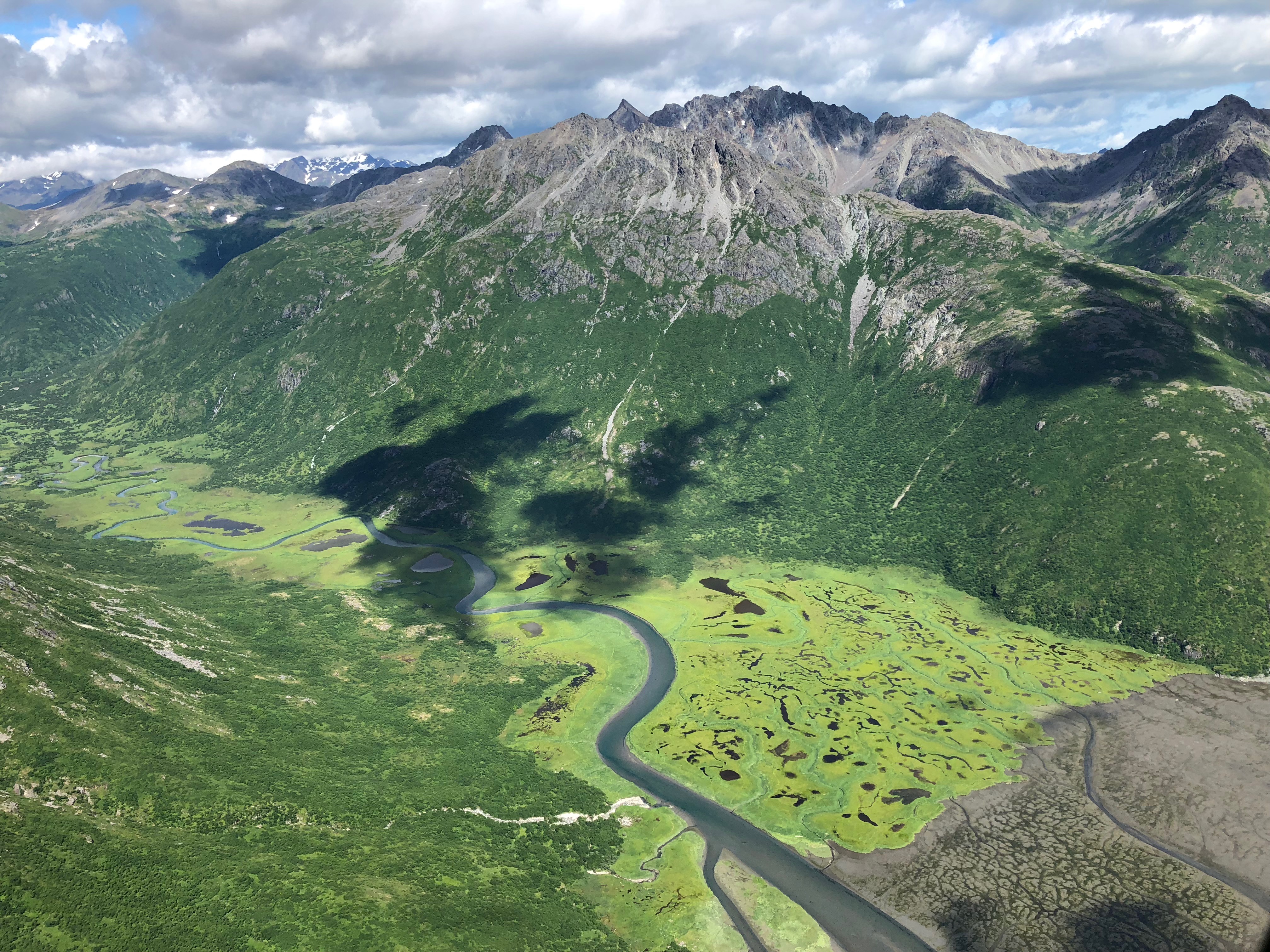
SW Alaska Resource Development Project
Beginning in 2005 RECON has been involved in off-site infrastructure investigations and studies for a resource deposit in southwest Alaska. This effort has involved access road route studies and design and estimating.
SERVICES EMPLOYED:
| Civil Engineering | Surveying | GIS: Cartography, Data Management |
| Remote Access Reconnaissance | Project Feasibility Studies | Geotech Investigation |
| Site Development/Design | GeoHazard Assessment |


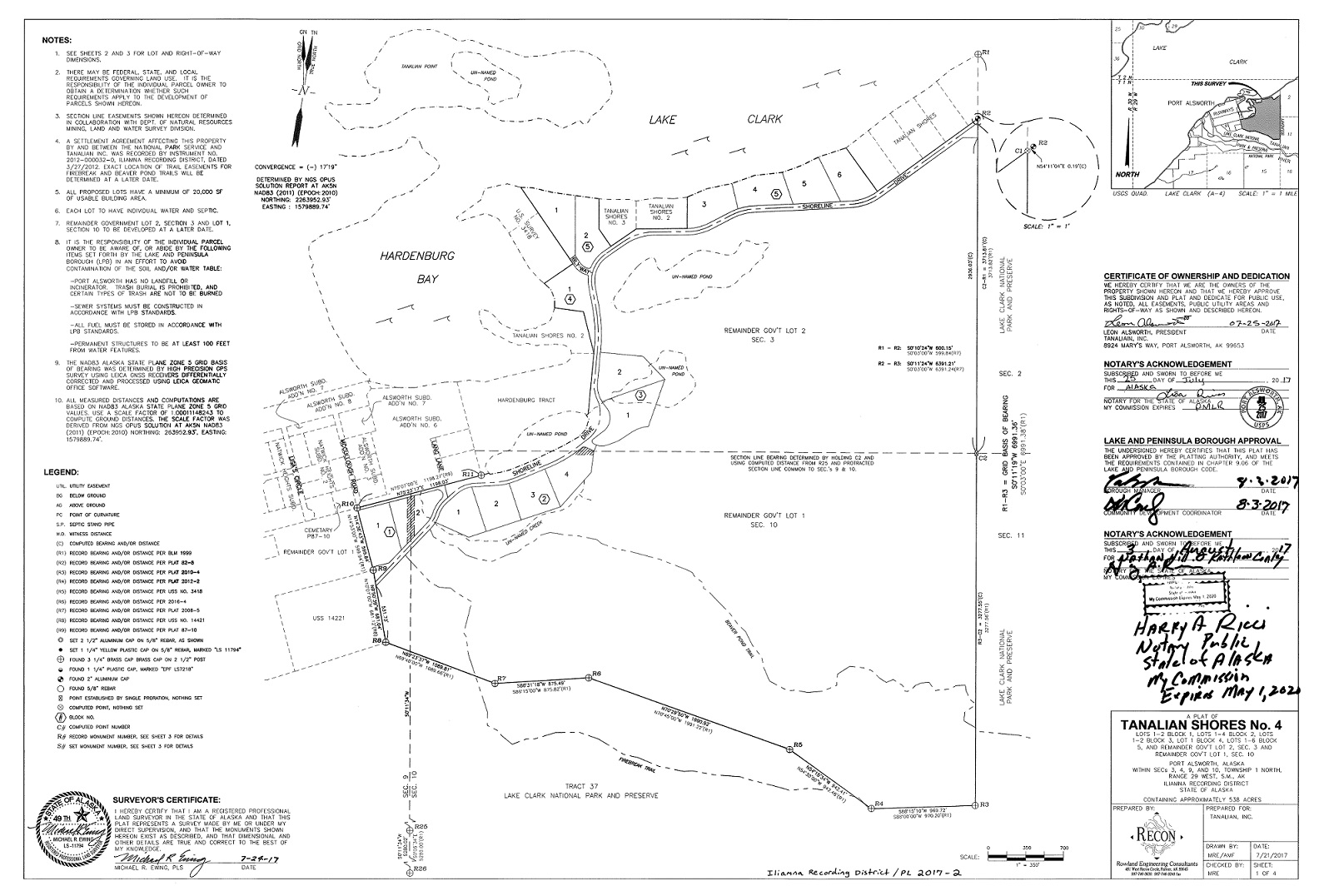
Tanalian Shores Subdivision, Lake Clark, Alaska
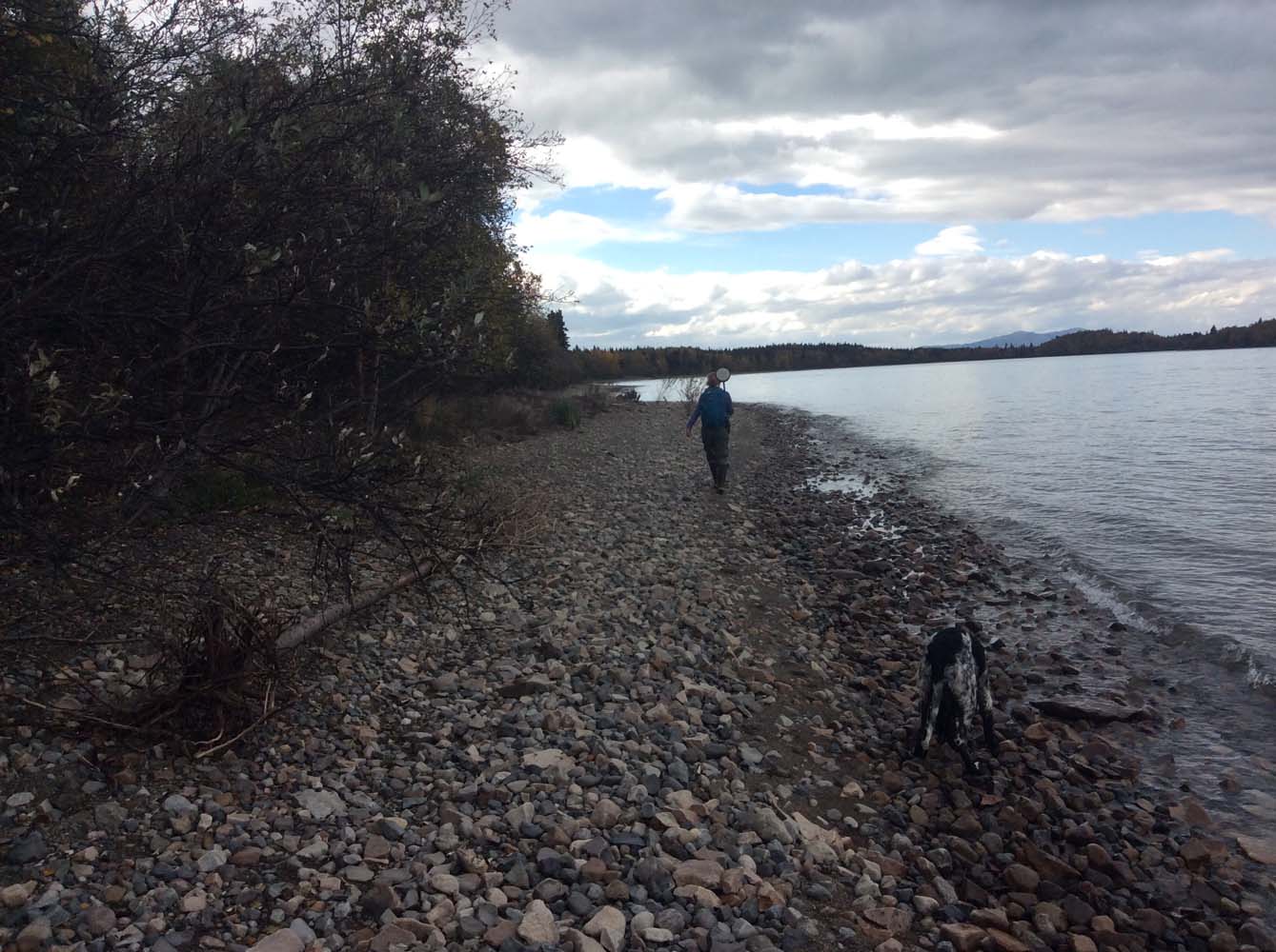
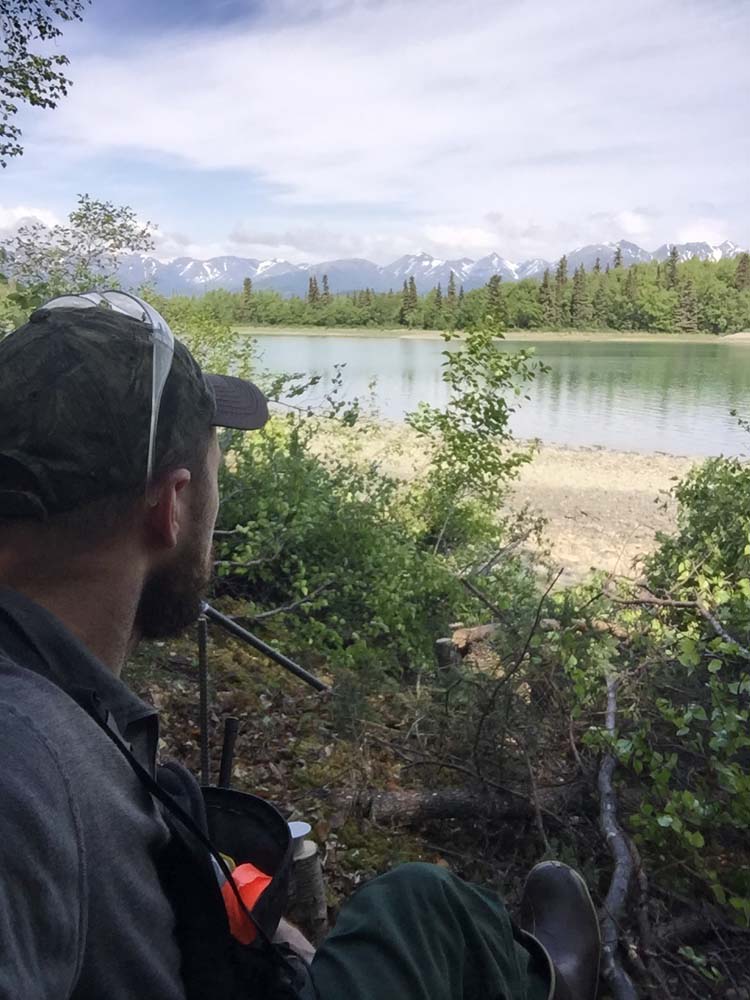
RECON completed a private land boundary survey of approximately 540 acres off the road system in the Lake Clark area of SW Alaska, preparing it for subdivision and future sale.
SERVICES EMPLOYED:
| Surveying | Remote Logistics Management | Subsurface Investigation |
| Road Route Selection | Lot Design |
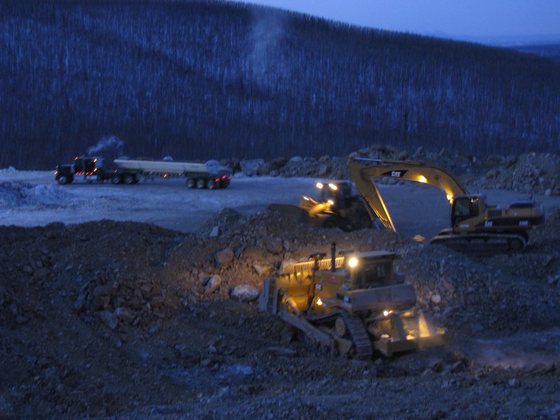
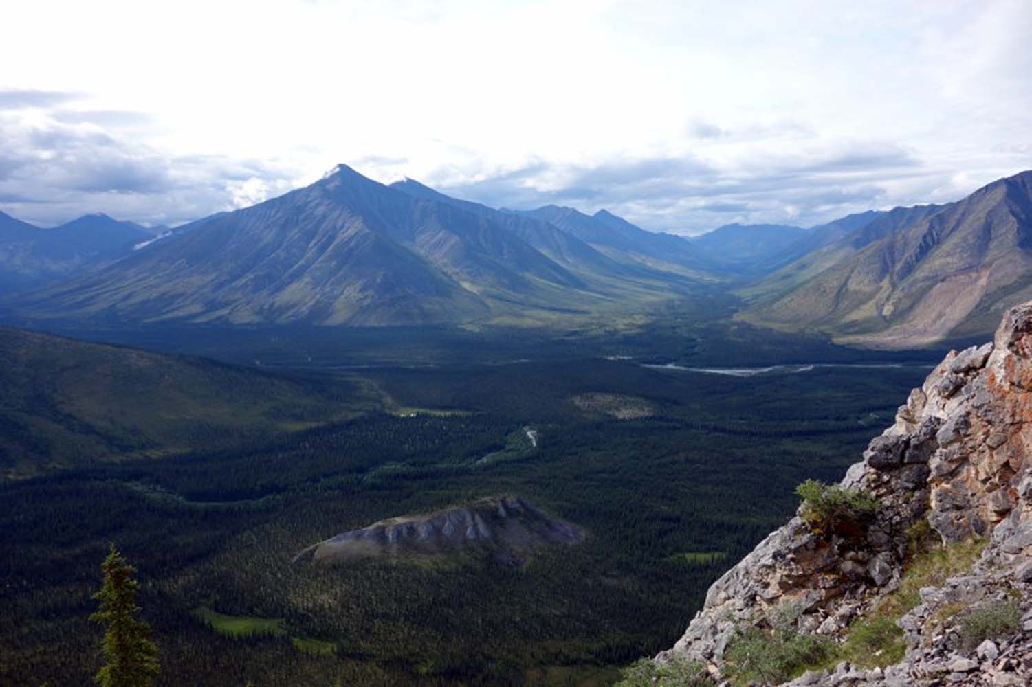
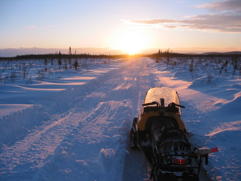
Pogo Mine Access Road
RECON began investigating access alternatives for Pogo Mine in 1999, developing an ice road for early access and then designing an all-season road and transmission line route to the mine site. From initial site reconnaissance to final construction, this was RECON’s first large mining client project.
SERVICES EMPLOYED:
| Civil Engineering | Surveying | GIS: Cartography, Data Management |
| Remote Access Reconnaissance | Project Feasibility Studies | Geotech Investigation |
| Construction Management |
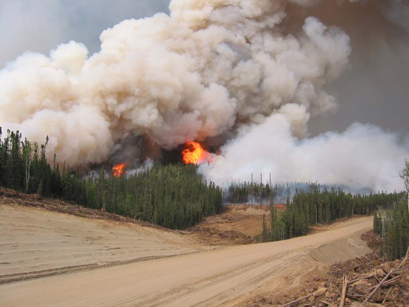

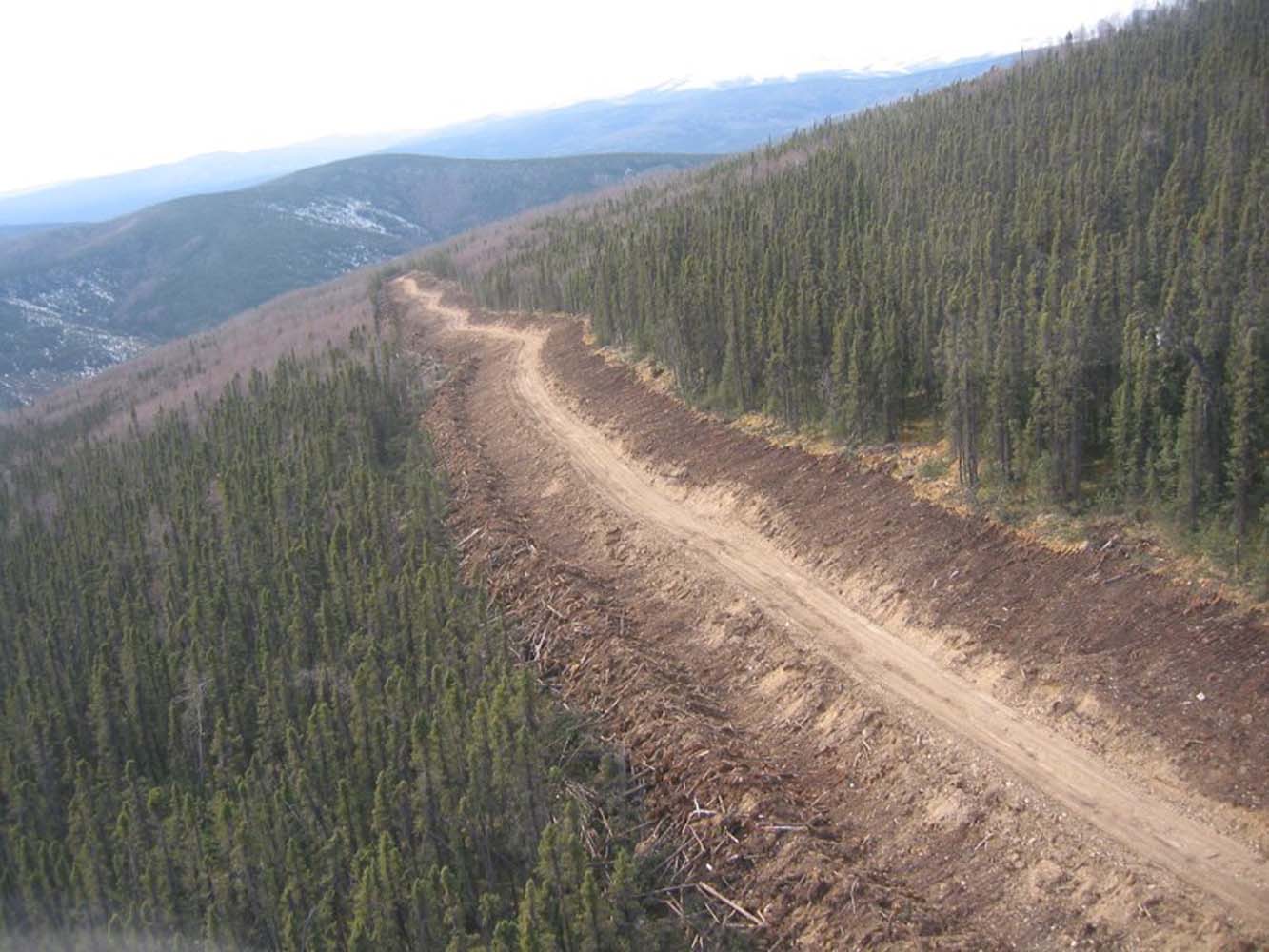

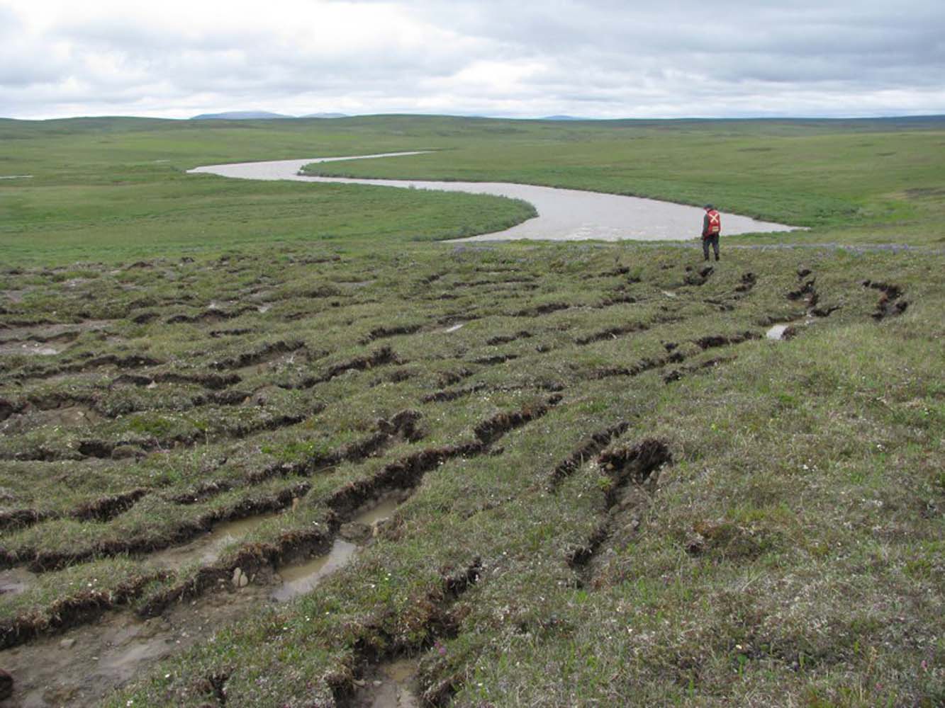
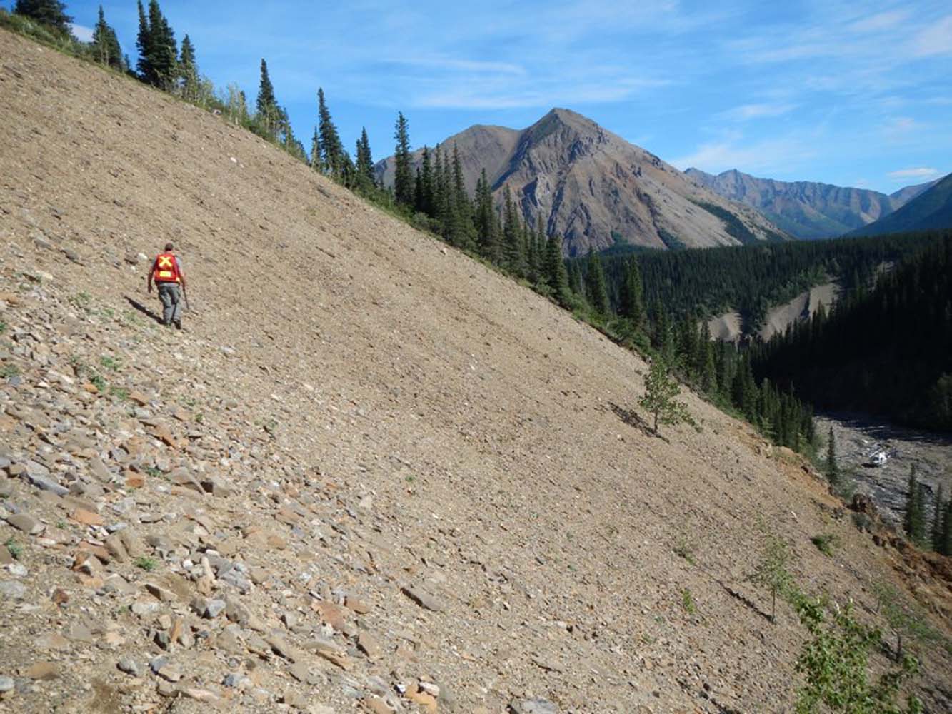
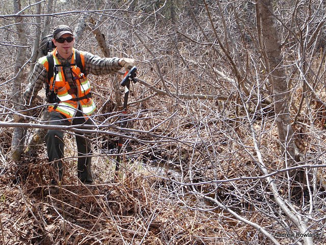
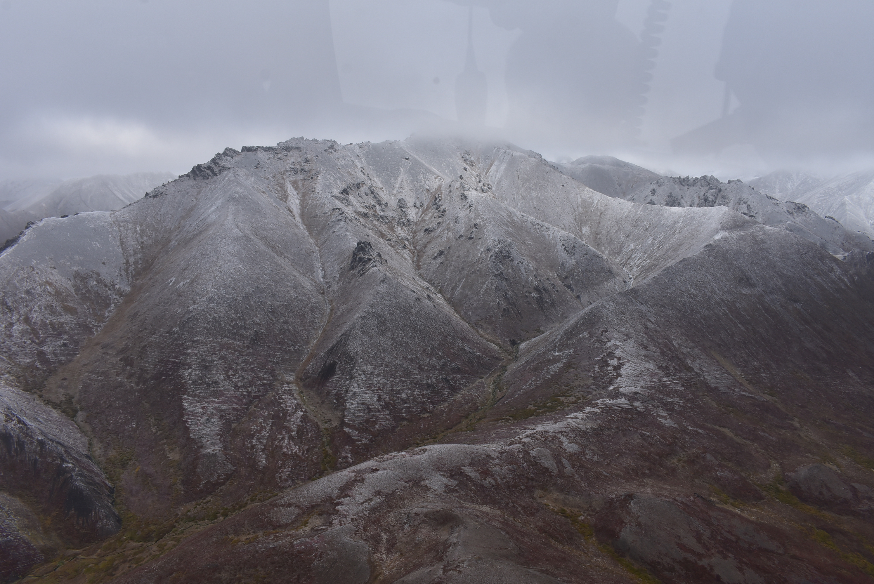
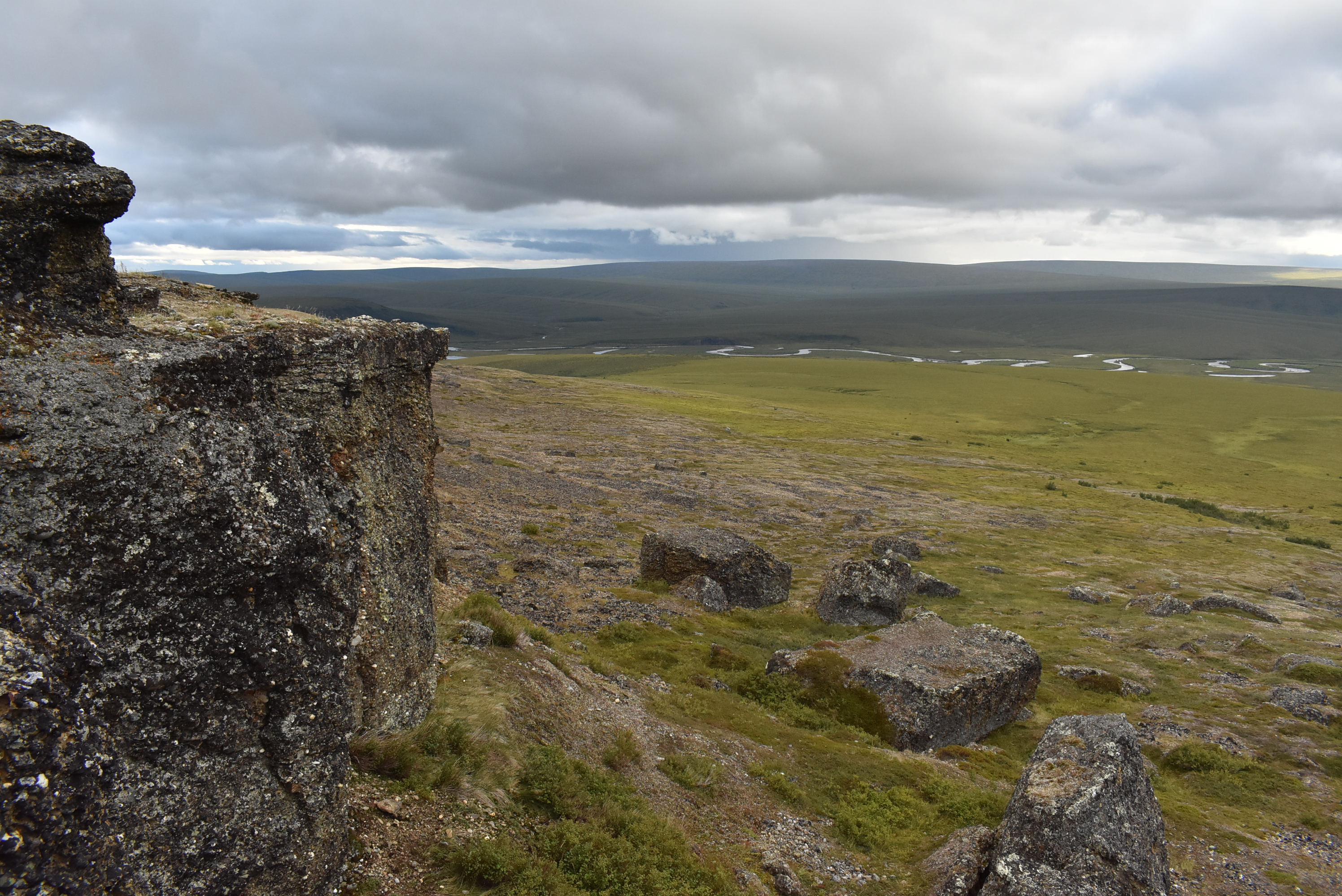
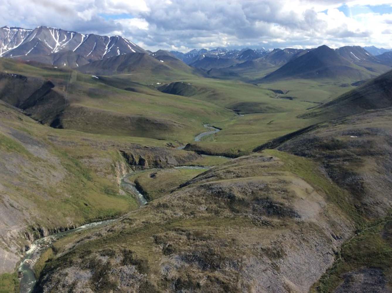
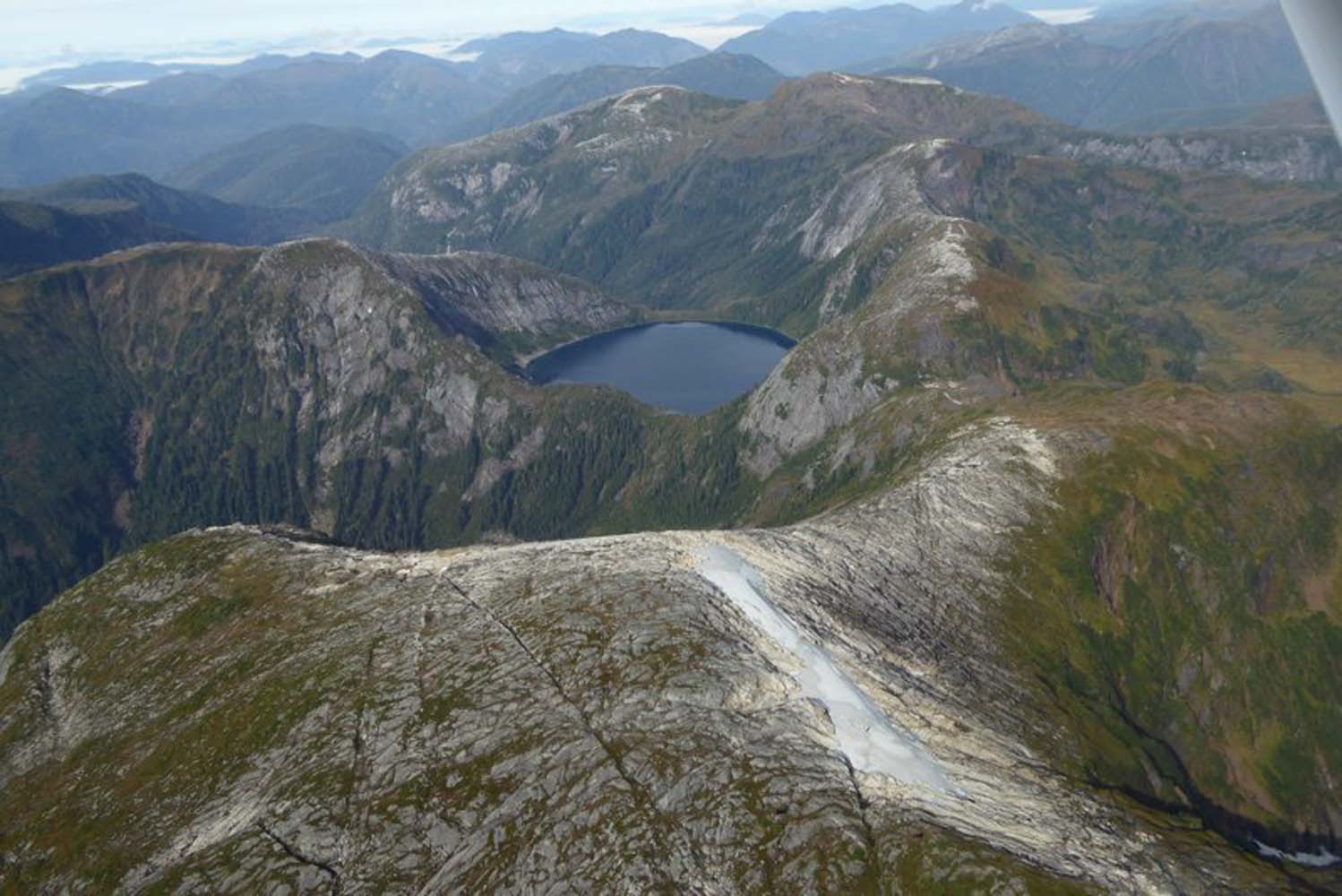
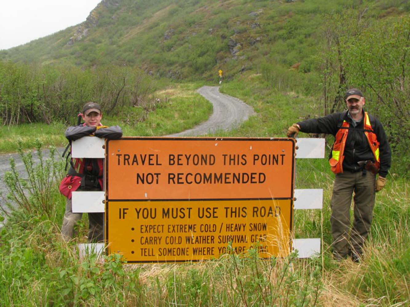
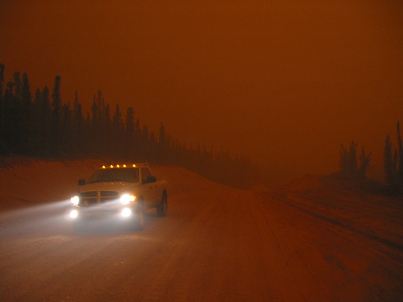
Brooks Range, Foothills West Road Route Reconnaissance
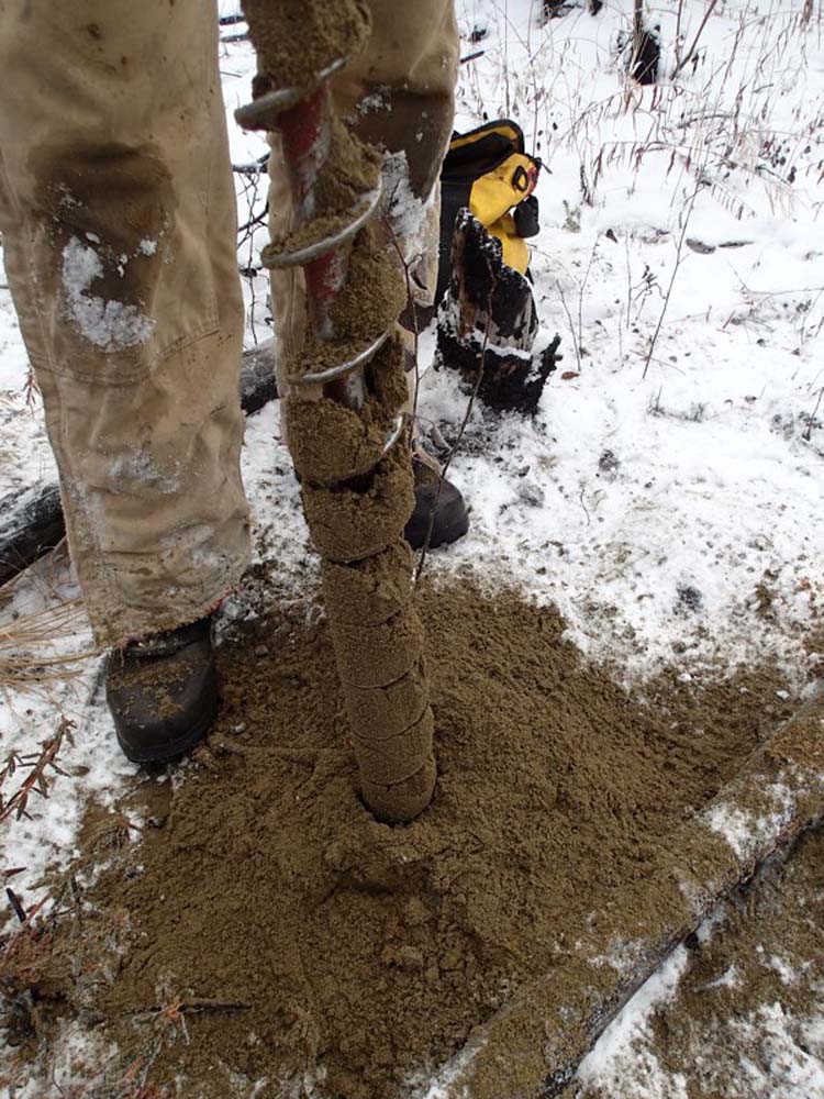
In 2009, RECON was asked to determine a viable alignment for a resource road from the Dalton Highway west to Umiat. RECON’s field team completed initial reconnaissance along the route corridor, one-third of which spanned a recently burned area. Resulting issues in soil stability, erosion, and thermal degradation were all accounted for in the 112-mile alignment plan.
SERVICES EMPLOYED:
| Route reconnaissance | River crossing selection | GIS |